Forecast for the Uintas Area Mountains

Mark Staples
Issued by Mark Staples for
Friday, January 21, 2022
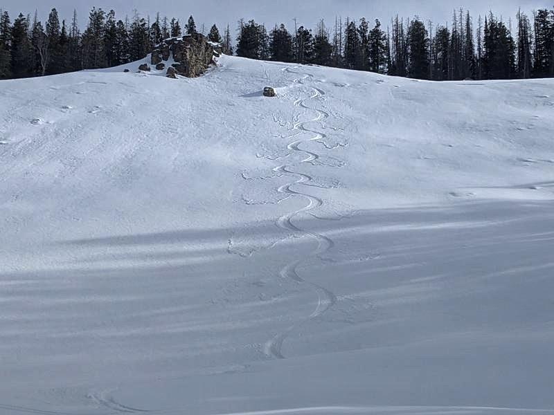
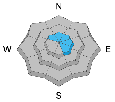
Today's new snow won't change the avalanche danger, but several inches of new snow combined with a little wind could create very small avalanches. Conditions are still generally safe and the avalanche danger is LOW.

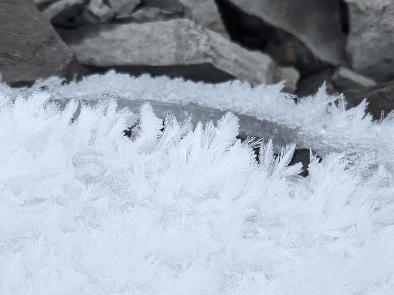
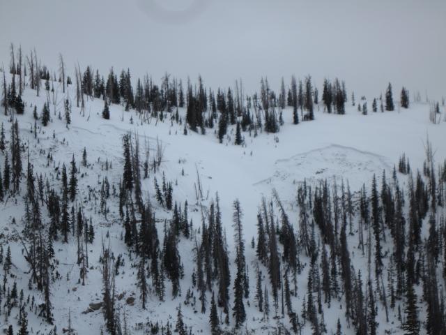
Even though it's been about 2 weeks since the last snowfall, the snowpack is deep, supportable, and mostly stable. Soft snow can still be found on slopes sheltered from the sun and wind.
Low
Moderate
Considerable
High
Extreme
Learn how to read the forecast here
Weather and Snow
NOWCAST-
It's snowing this morning with an inch (maybe two) of snow as of 5 a.m. Temperatures at upper elevations are in the mid teens F and in the mid 20s F most other places. Winds are fairly light blowing 9-14 mph from the NW on the high peaks.
FORECAST-
Light snowfall should continue until late morning with another inch or so accumulating. Winds from the north will continue bringing cold air into the area and temperatures should remain in the teens to mid 20s F. By midday when the sun begins to appear, winds will blow from the northeast and may increase to 20 mph with some stronger gusts. Weather models typically under forecast wind speeds when they come from an easterly direction.
FUTURECAST-
Weather this weekend will be beautiful, clear and sunny. Winds will generally be light, and temperatures will be cold at nights but warm up to the upper 20s F during the day.

Recent clear, dry weather significantly weakened the snow surface (faceting) and deposited surface hoar (frozen dew) onto the snow surface in many places (photo below from Michael J. in Weber Canyon). I found similar conditions in Soapstone on Wednesday. Today's few inches of snow will cap and preserve this weak snow. It's not really an issue until we get more snow.
The good news is that this weak snow will make today's few inches of powder feel deeper than it is.

Looking for real-time temps, snow, or wind?
Click HERE and then on the "western Uinta" tab for western Uinta specific, weather station network.
Recent Avalanches
Yesterday Ted rode into Mill Creek east of the Mirror Lake Highway on the north slope of the Uintas, and he found this avalanche. It was unclear what triggered it and how old it was, but it looked somewhat fresh. It occurred on a north-facing slope at above 10,000 ft.
Regardless of the exact details, it is a great reminder that even though the danger is LOW, avalanches can still happen. This is why we always carry avalanche rescue gear and only expose one person at a time to avalanche terrain.

Click HERE for a list of recent avalanches.
A list of all other observations is found HERE

Your input is vital and we're interested in what you're seeing. Please contribute to this great community resource and go here to fill out an observation.
Ad
Avalanche Problem #1
Wind Drifted Snow
Type
Location
Likelihood
Size
Description
Winds may increase from the northeast around midday and form very shallow drifts (maybe 6 inches deep) that should easily avalanche. They shouldn't be much of a concern and will mainly be interesting to see how yesterday's weak surface snow reacts with a shallow soft slab on top of it. Michael J's ski tracks yesterday show the weak snow very well in the photo below as each ski turn sluffed the weak surface snow. Now, imagine a shallow wind slab resting on that snow.
Avalanche Problem #2
Persistent Weak Layer
Type
Location
Likelihood
Size
Description
There is a persistent weak layer of faceted snow and depth hoar near the ground that fractured and produced avalanches through much of December and early January. Since then, this layer has gained a lot of strength, and it is unlikely you can trigger an avalanche on this layer. HOWEVER, a layer like this doesn't magically go away, it slowly strengthens through time and goes mostly dormant.
The somewhat recent avalanche Ted spotted yesterday in Mill Creek is a great reminder that this layer still exists and could produce an avalanche even though it is unlikely.
What to do? I have no worries about this problem below treeline where the snowpack is deep and uniform. Steep, rocky terrain above treeline with a more variable snowpack is where I would worry a little bit. Ride parts of a slope with the deepest snow, carry avalanche rescue gear, expose only one person at at time, and consider where a slide will take you if it does happen.
Additional Information
Earlier this week, Ted installed the Beacon Basin training park at the Bear River Trailhead. Huge thanks to Dave Allen and the Monviso HOA for all the support making this potentially life saving resource available to our entire community.
Your observations are important, so please let me know what you're seeing... click HERE and contribute to this amazing community based program
General Announcements
The information in this forecast expires 24 hours after the day and time posted, but will be updated by 07:00 Friday January 21st.
Before it gets too crazy, now is the time to book an avalanche awareness presentation for your group, club, or posse. You can reach me directly at 801-231-2170 or [email protected]
This forecast is from the U.S.D.A. Forest Service, which is solely responsible for its content. This forecast describes general avalanche conditions and local variations always occur.