
Greg Gagne
Forecaster
Our Week in Review highlights significant snowfall, weather, and avalanche events of the prior week. (Review the archived forecasts for the Salt Lake mountains.)
The danger roses for the Salt Lake mountains from Friday, April 2 through Thursday, April 8:
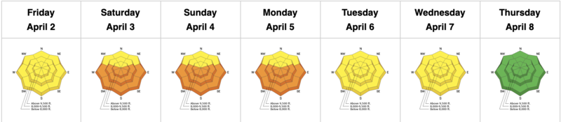
Summary: Warm temperatures over the weekend with a Tuesday storm that brings 6-12" to the upper reaches of the Cottonwoods.
Friday, April 2 - Monday, April 5: Very warm temperatures and strong sunshine lead to wet-loose avalanches, although fortunately, none were especially large.
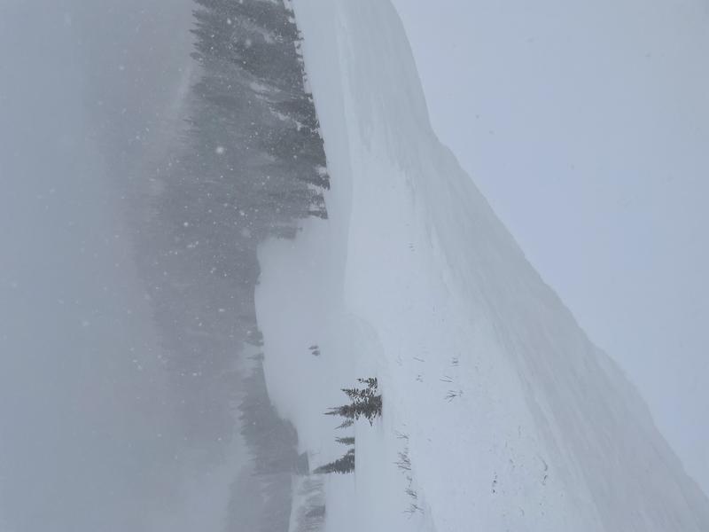
Tuesday, April 6: A return to winter with a sleeper storm that drops 6-13" of snow, with the highest amounts in upper Little Cottonwood. There were some small, natural avalanches that occurred during periods of highest precipitation intensity, as well as a few small wind pockets and storm slabs that were triggered by ski cuts, although stability increased by midday. The most interesting avalanche occurred from a cornice drop on the east face of Reynolds Peak that was 12" and 60' wide:
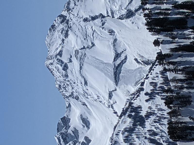
Wednesday, April 7: Clear skies, but cool temperatures and a slight breeze keep the snow surface cool on mid and upper elevation northerly aspects, and only minimal wet-loose avalanche activity reported on southerly aspects. A large glide avalanche is reported in Broads Fork that took out the entire season's snowpack, running approximately 1,700' vertical.
Thursday, April 8: Clear skies and warm temperatures, but winds kept the snow surface cool and no avalanche activity is reported.


