Forecast for the Salt Lake Area Mountains

Issued by Greg Gagne on
Friday morning, March 19, 2021
Friday morning, March 19, 2021
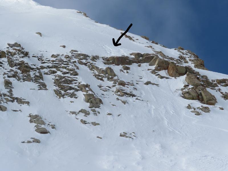
The avalanche danger is Low, but avalanches involving wet snow and small wind drifts along upper elevation ridges as well as mid and upper northerly aspects may be encountered. The Spring season typically delivers the most rapid changes in weather and avalanche conditions can change quickly. Watch for any sudden changes in the snowpack, such as if it becomes wet and unsupportable or you find sensitive wind drifts.

Low
Moderate
Considerable
High
Extreme
Learn how to read the forecast here


