Greg Gagne
Forecaster
Our Week in Review highlights significant snowfall, weather, and avalanche events of the previous week. (Click here to review the archived forecasts for the Salt Lake mountains.)
The danger roses for the Salt Lake mountains from Friday, March 6 through Thursday, March 12, 2020:

Summary: A late-weekend storm delivers a much-needed return to winter
Friday/Saturday March 6-7: Low avalanche danger with only small, wet-loose avalanches reported.
Sunday, March 8: An over-delivering storm enters the region, snowfall and water totals include:
LCC: 10"/0.75"SWE
BCC: 8-14"/0.6-1.0"SWE
PC ridgeline: 6-12"/0.5-0.88"SWE
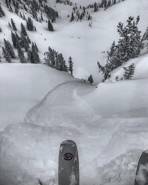
Sluffing in the new snow is the only reported avalanche activity: (photo Mark White)

Monday, March 9: Continued sluffing in the storm snow, as well as a few reactive wind slabs, including
Pioneer Peak - 8"x20' wide NE@10k
Dog Lake Chutes - 8"x45' wide NE @9500'
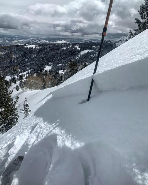
No Name Bowl - 10"x50' wide NE @9500' running on preserved facets (photo Mark White)

Tuesday-Thursday, March 10-12: Clear skies with light to moderate winds. Only minor wet-loose activity reported.


