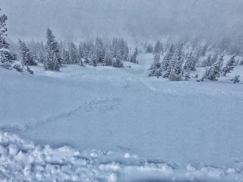
Greg Gagne
Forecaster
Our Week in Review highlights significant snowfall, weather, and avalanche events of the previous week. (Click here to review the archived forecasts for the Salt Lake mountains.)
The danger roses for the Salt Lake mountains from Friday, January 3 through Thursday, January 9, 2020:

Summary: Widespread human-triggered avalanche activity, as well as some natural avalanches, occurring on southerly aspects where a combination of facets and crusts exists and is buried down 12-18" deeply. What is unusual for this activity is that southerly aspects are generally the slopes we consider to be safer. The period was also characterized by sustained winds. Snowfall totals for the week range from 8-16", with very low-density snowfall reported by later Thursday.
Friday, January 3: Increasing westerly winds and human-triggered avalanche reported on southwest aspect on Microwave Tower in upper Little Cottonwood Canyon (observation).
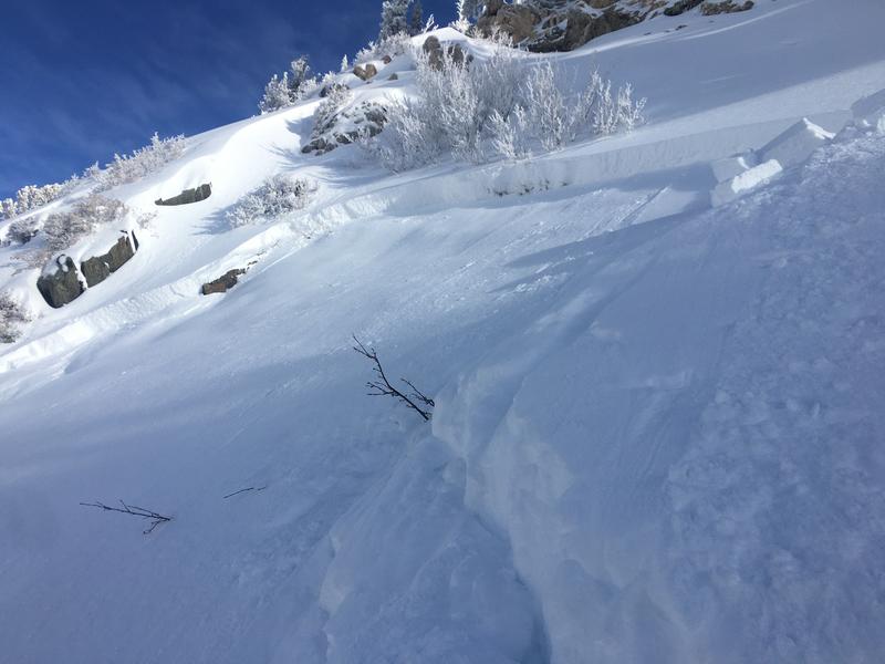
Saturday, January 4: Several human-triggered avalanches are reported, occurring on aspects facing southwest through southeast. Some of the more significant avalanche occurrences include:
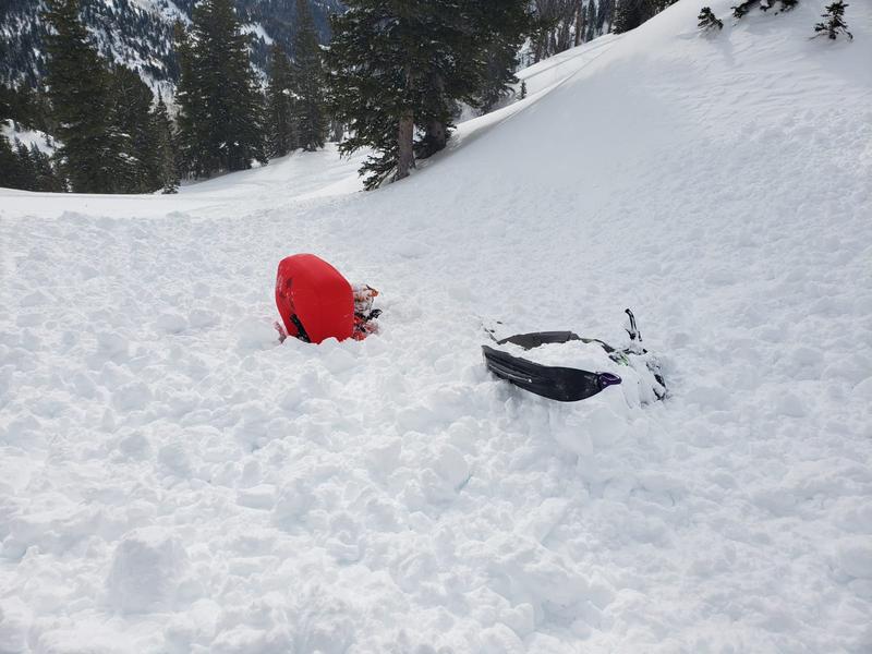
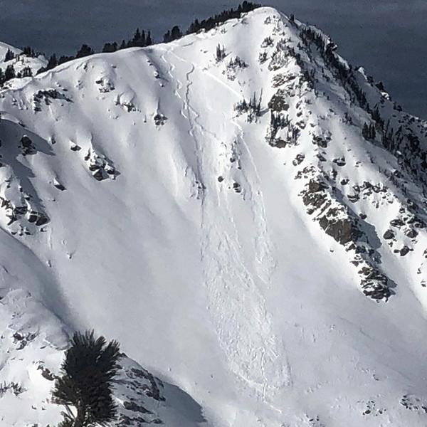
- Columbine Bowl White Pine Canyon (remotely triggered)
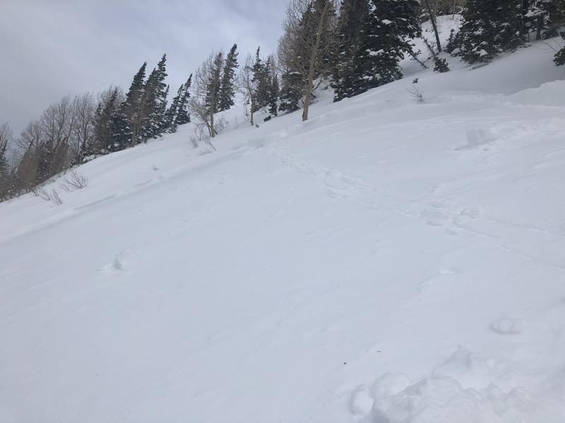
Sunday, January 5: Westerly winds with moderate snowfall beginning in the afternoon. Snowfall totals of 2-4". Another human-triggered avalanche on a southeast aspect on Wilson Peak (observation)

Monday, January 6: No backcountry avalanches are reported. Clearing skies with light to moderate westerly winds.
Tuesday, January 7: Clear skies and westerly winds. Small wet, loose avalanches on solar aspects. An interesting avalanche on the south face of Gobblers Knob. A natural, soft slab avalanche at 9800' that likely ran on the facet/crust combination that is found on southerly aspects (observation)
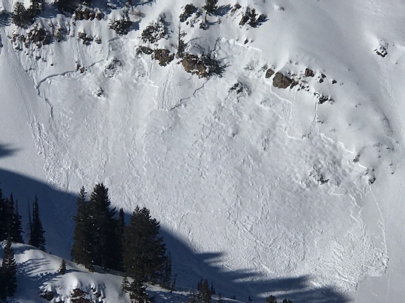
Wednesday, January 8: Strong southwesterly winds as a cold front enters the region mid-day. Gusts reaching over 50 mph at the upper elevations, with wind deposits at the mid and upper elevations. Periods of moderate to heavy snowfall during the day, with widespread loose sluffing reported.
Thursday, January 9: Snowfall totals 6-12" by Thursday morning. Long-running sluffs are reported.
