Forecast for the Ogden Area Mountains

Trent Meisenheimer
Issued by Trent Meisenheimer for
Thursday, March 14, 2019
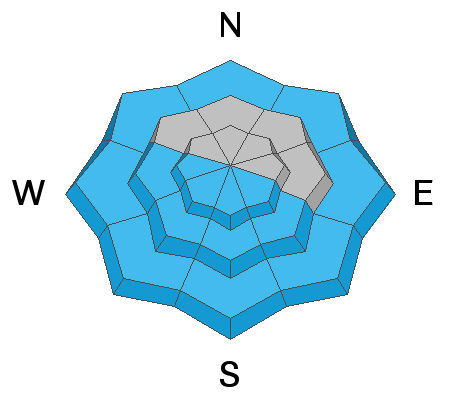
The overall avalanche danger is MODERATE at all elevations and aspects for triggering, loose dry, storm slabs, and wind drifted snow avalanches. However, there is a CONSIDERABLE danger at upper elevations for areas that received the most snow, where you're more likely to trigger an avalanche. Seek out wind sheltered terrain that's generally less steep than 32° degrees with clean run-outs. This will drastically reduce your exposure to avalanches and consequences.
The avalanche danger could spike immediately to CONSIDERABLE on sunny slopes if the sun decides to come out this afternoon.
Low
Moderate
Considerable
High
Extreme
Learn how to read the forecast here
Weather and Snow
Wow - what a storm!!! Drew Hardesty said it best " Under-promise and over-deliver. Phenomenal powder skiing." 24 hr storm totals are impressive with areas favored by the northwest flow have significantly more snow. Powder Mountain is reporting 14" of total storm snow with about an inch of water. Snowbasin 9" of new snow with 0.25" h20. Areas that aren't favored by the northwest flow have generally less snow and have somewhere in the range of 4-8" of new snow.
Under mostly cloudy skies this morning the temperatures remain cold with upper elevations in the mid teens °F across the board. Winds are from the northerly direction and are currently blowing 10-15 mph gusting into the low 20's across the upper peaks. Mid elevations the winds are calm. By mid to late morning we will see some clearing with the possibility of full sunshine by late afternoon. The good news: 700mb (10,000') temperatures will remain cold throughout the day, climbing into low to mid teens °F by late afternoon/evening.
Recent Avalanches
Yesterday, snow safety teams reported sensitive soft slabs and long running loose dry avalanches that were easily triggered with slope cuts and explosives. All of these avalanches were confined to the new snow. No observations were submitted yesterday from the Ogden backcountry.
Ad
Avalanche Problem #1
New Snow
Type
Location
Likelihood
Size
Description
New snow instability is tricky because it tends to stabilize very quickly after the storm calms down. I would expect the new storm snow to stabilize rapidly this morning. However, one should be on guard before committing to any steep terrain. Slope cuts and terrain management skills are a must for today.
  • Use slope cuts (where you move diagonally across a slope in a downward direction from safe point to safe point).
  • As you ride steep terrain keep an eye on your sluff as it could pack a punch. Be sure not to ride above your partners or others in the backcountry.
  • Use small test slope to see how the new snow is behaving and bonding to the old snow surface.
  • Remember that even a small avalanche in radical terrain, drastically increases the consequences.
Avalanche Problem #2
Wind Drifted Snow
Type
Location
Likelihood
Size
Description
Overnight the northerly winds averaged 15-20 mph gusting into the 30's across the upper elevations. This has created fresh wind drifts along the upper elevations that are now buried by the last few inches of fluff that fell this morning. Look for and avoid rounded pillows of wind drifted snow. Cracking is a red flag and shouldn't be ignored. This is the problem I would be most concerned with today and the one I would avoid - seek out wind sheltered terrain or areas with generally less than a foot of new snow and enjoy the powder snow where there is a much lower risk.
Avalanche Problem #3
Wet Snow
Type
Location
Likelihood
Size
Description
This will be the wild card today!!! it's March and the sun is strong. If we see any clearing this morning or afternoon you can expect the steep sunlit slopes to immediately become damp and start producing natural wet loose avalanches. The loose wet snow could pack a punch as much of the southerly facing terrain has slick crusts for it to run on. Keep an eye to the sky and watch the snow surface. If you're seeing roller balls or small point release avalanches on any aspect - it's time to leave or ride in terrain that's under 30° degrees with nothing steep above or adjacent to you.
Think about your exits today - if your exit is a steep gully or drainage you'll want to give yourself plenty of time to safely pass through if the sun comes out.
General Announcements
This information does not apply to developed ski areas or highways where avalanche control is normally done. This forecast is from the U.S.D.A. Forest Service, which is solely responsible for its content. This forecast describes general avalanche conditions and local variations always occur.