
Observation Date
1/2/2019
Observer Name
Greg Gagne
Region
Salt Lake » Mill Creek Canyon » Porter Fork
Location Name or Route
West/Main Porter & Mill B South
Comments
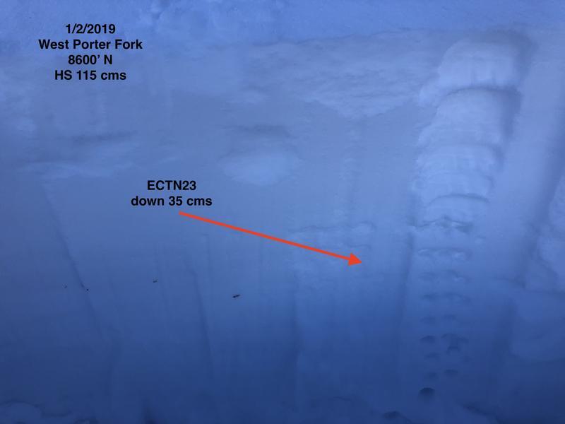
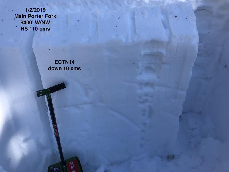
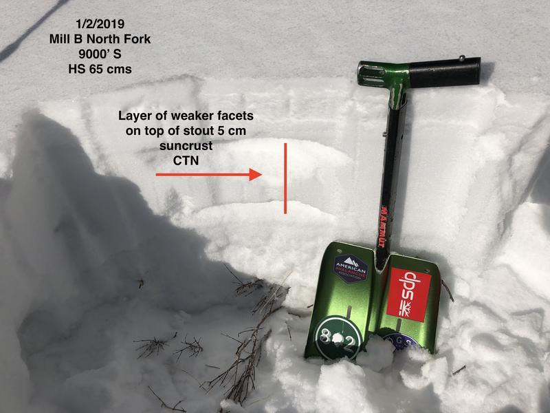
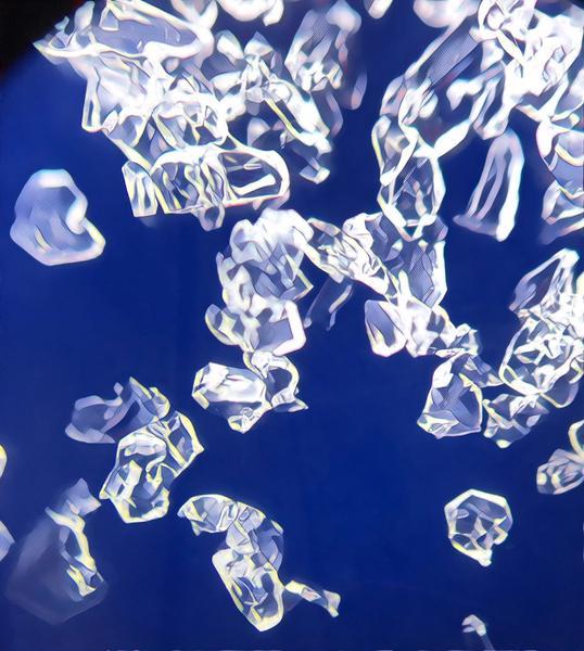
Overall stable snowpack found in Porter Fork. Several quick pits today and no columns propagated on any ECTs. Shears were all Q3 poor quality. In north aspects > 9000' there was some October facets, but they are gaining strength are now are 4F+/1F. All snowpacks I looked at had rightside-up structure with F -> 4F -> 1F. Also looked at southerly aspects as there have been reports of facets atop old sun crusts. I was finding a 5 cm faceted layer on top of an old, mid-December crust, but not reactive. Photos are of different pits showing overall stable snowpack:
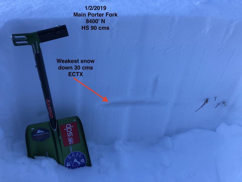
In thinner snowpack areas I have looked at the past several days, I am finding the weakest snow to be down 30-45 cms. This is just underneath a 1F 5-10 cms denser slab that formed in the middle of December, prior to the onset of consistent storms in 12/19. The week prior had been warm with a few wind events, creating this denser slab. Underneath this slab is weaker, faceted snow. In thinner snowpack areas (thinner = < 90 cms) these facets are weakening due to the strong temperature gradient. Right now this is not a concern, may may be so once we get additional loading.
Currently, in thicker snowpack areas, the snowpack is still strong, with the weakest snow at the surface.
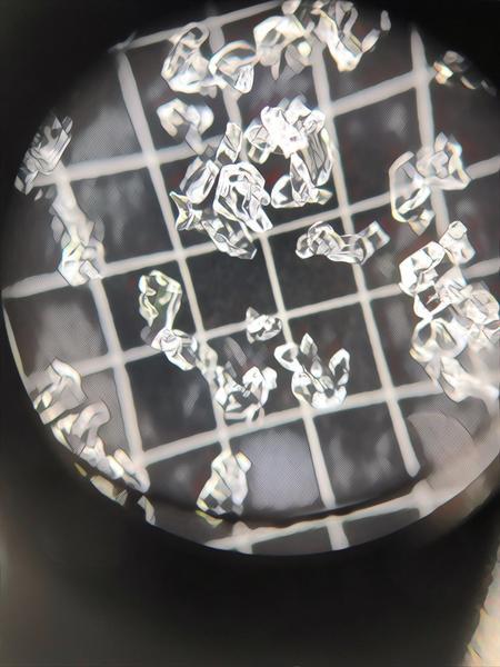
Photos of some 1-2 mm facets in thinner snowpack areas. (Photos are manipulated to highlight the squares.)
Overall hazard is generally Low. Wind drifts from 12/31 NE/E wind event are unreactive, but I imagine there are some pockets at the upper elevations where they may still be reactive to a rider. Hazard definitely trending to Low.
Today's Observed Danger Rating
Moderate
Tomorrows Estimated Danger Rating
Moderate


