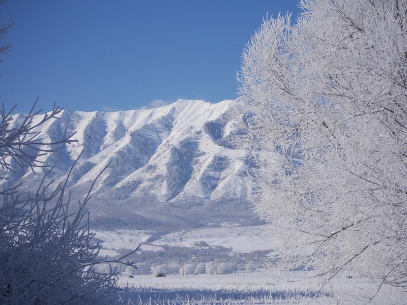
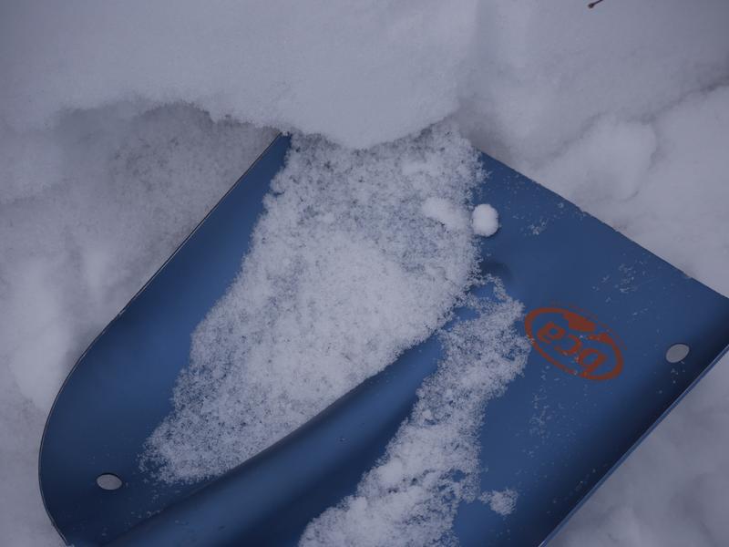
The Tony Grove Snotel at 8400' reports 16º F and there's 34"of total snow, containing 104% of average SWE for the date. It's 14º F on Ogden Peak and north wind is blowing around 10 mph.
You can find nice snow and good coverage for this time of year in the Logan Zone, but heightened avalanche conditions remain on upper elevation slopes with poor snow structure. Although becoming less likely with time, dangerous human triggered avalanches 1 to 3 feet deep remain possible.

Expect mostly sunny conditions in the mountains, with high temperatures at 8500' around 28º F and 5 to 8 mph north-northwest wind veering from the south-southeast during the day. Tonight will be partly cloudy with a low temperature around 20º F and 8 mph south-southwest wind. It'll be partly sunny tomorrow, with a high temperature around 32º F and 10 mph southeast wind. Valley inversions will strengthen over northern Utah through Monday. A couple storm systems will impact the Logan Zone Tuesday and Wednesday, with several inches of accumulation possible with each. There is some uncertainty with model runs showing an increase in potency, but snow showers will be likely in the mountains Tuesday, with up to 4 inches (or more) possible. Directly trailing the first storm will be a second one which looks to be stronger and colder. This system has cold air and good dynamics with it, but it will be moving through rapidly Wednesday which will keep snow amounts from being too great. 5 to 10 inches of accumulation is possible during the day Wednesday.


