UDOT PLANNED AVALANCHE CLOSURES!!

Forecast for the Logan Area Mountains

Toby Weed
Issued by Toby Weed for
Saturday, December 8, 2018
MODERATE: Heightened avalanche conditions exist on upper elevation slopes that had snow before Thanksgiving. Dangerous human triggered avalanches failing on a deeply buried persistent weak layer near the ground remain possible. Elsewhere the snow is much more stable, the danger is LOW, and you can find good coverage and very nice powder conditions.
  • Evaluate snow and terrain carefully, use safe travel protocols.
Low
Moderate
Considerable
High
Extreme
Learn how to read the forecast here
Special Announcements
Thanks for your support of avalanche awareness and education in the Logan Area. Thanks to you our 15th Annual Pray for Snow Party and Fundraiser was a big success!
Weather and Snow
The Tony Grove Snotel at 8400' reports 25º F and there's 34"of total snow, containing 108% of average SWE for the date. It's 21º F on Ogden Peak and southwesterly wind is blowing around 20 mph.
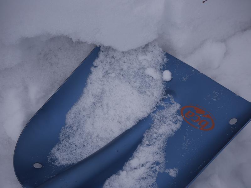
You can find very nice powder in the Logan Zone these days, but heightened avalanche conditions remain on upper elevation slopes that held snow before the Thanksgiving storm. Although becoming less likely with time, dangerous human triggered avalanches 1 to 3 feet deep remain possible. There is Low danger, good coverage for this time of year, and excellent powder conditions elsewhere.
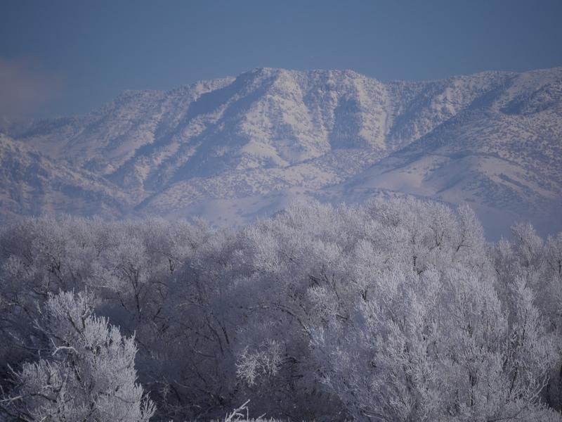
Expect mostly cloudy conditions in the mountains, with high temperatures at 8500' around 23º F and 8 to 14 mph west wind. Low temperatures around 12º F are expected tonight, with mostly cloudy skies and 6 to 11 mph west wind. It'll be sunny tomorrow, with a high temperature around 28º F and 5 mph westerly wind. High pressure will build into the area this weekend and remain in place through the middle of next week. So, we'll have to watch for the development of weak layers before a quick hitting Pacific storm hits the Logan Zone on Wednesday, potentially bringing some snow to Cache Valley and a good shot of accumulation to the mountains.
Recent Avalanches
No new avalanches were reported in the Logan Zone recently. A sign of lingering unstable snow; on Thursday I triggered a couple localized audible collapses or whumpfs while walking in low angle terrain along Red Pine Ridge
Ad
Avalanche Problem #1
Persistent Weak Layer
Type
Location
Likelihood
Size
Description
Dangerous avalanches failing on a deeply buried persistent weak layer are becoming harder to trigger, but they remain possible and they are just as dangerous. In the last week we've noted an increase in stability due to strengthening of the Thanksgiving snow, adjustment of the weak snow from early November to it's new load, and the fact that the sugary facets are now deeply buried in many places.
  • The sugary weak snow near the ground is fairly shallow in the Logan Zone, so potential avalanches will be most likely on smooth upper elevation slopes or in pockets between rocky anchors and terrain features.
  • Collapsing and cracking indicate that the snow is unstable.
Shallow but loose and weak faceted snow lurks under the Thanksgiving slab. (Bedground Bowl 12/6/18)
Avalanche Problem #2
Normal Caution
Type
Location
Likelihood
Size
Description
  • Even small avalanches can be very dangerous with shallow, early season snow cover. You could get dragged through rocks or deadfall if you get caught and carried.
  • As always, avoid recently drifted snow in steep terrain.
  • Everyone in your party needs a working and up-to-date beacon, probe, and shovel. Practice avalanche rescue with your partners regularly.
General Announcements
The Tony Grove Road is open but not maintained for winter travel of wheeled vehicles.
Beaver Mountain is glad to allow non-motorized uphill traffic. You can find generally safe conditions, nice powder, and good coverage, and help pack out the ski hill. Remember, before it opens, Beaver Mountain is backcountry.
Now is a great time to practice companion rescue techniques with your backcountry partners. Here is our practice video.
Remember your information can save lives. If you see anything we should know about, please help us out by submitting snow and avalanche observations. HERE You can call us at 801-524-5304, email by clicking HERE, or include #utavy in your Instagram.
This advisory is from the U.S.D.A. Forest Service, which is solely responsible for its content. This advisory describes general avalanche conditions and local variations always occur.