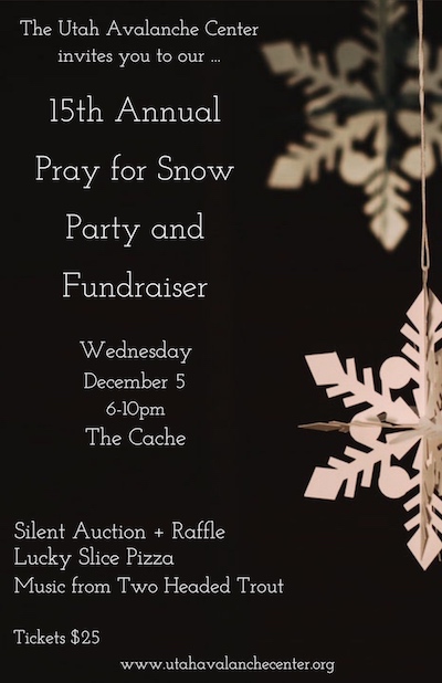
Join us on Wednesday December 5th to celebrate the coming of winter! Our 15th Annual Pray for Snow Party and Fundraiser is at The Cache with music from Two Headed Trout, pizza from Lucky Slice, beverages from Moab Brewery, and a raffle and silent auction of amazing donated items. Thanks for your support of avalanche awareness and education. We look forward to seeing you! Tickets available online:
CLICK HERE.
The Tony Grove Snotel at 8400' reports a couple inches of new snow with .1" SWE in the last 24 hours. It's 5º F and there's 39"of total snow, containing 117% of average SWE for the date. It's 2º F at the 9700' CSI Logan Peak weather station and a west wind is blowing around 18 mph, with gusts around 30 mph.
High pressure aloft will remain over Utah through Wednesday. Once the fog burns off it'll be mostly sunny in the mountains , with a high near 20º F at 8500'. Wind chill values will be as low as -8º F and light south-southeast wind. Tonight will be mostly cloudy, with a low around 6º F. Wind chill values as low as -3º F, and southeast wind 3 to 5 mph. Snow is likely tomorrow, mainly after in the afternoon. It'll be cloudy with a high near 28º F, and south-southwest wind 3 to 6 mph. New snow accumulation of 1 to 3 inches is possible.
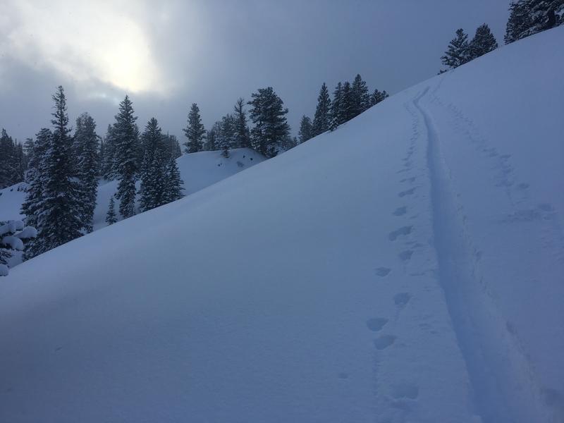
Areas with heightened avalanche conditions exist on upper elevation slopes that held snow before the Thanksgiving storm. Dangerous human triggered persistent slab avalanches are possible. Much less danger and excellent powder conditions exist where is no old pre-Thanksgiving snow.
No new avalanches were reported in the Logan Zone since a natural cycle at upper elevations on Thanksgiving weekend. We could see evidence of some natural loose sluffs from Sunday in very steep terrain near Tony Grove Lake.


