Join us on Wednesday December 5th to celebrate the coming of winter! Our 15th Annual Pray for Snow Party and Fundraiser is at The Cache with music from Two Headed Trout, pizza from Lucky Slice, beverages from Moab Brewery, and a raffle and silent auction of amazing donated items. Thanks for your support of avalanche awareness and education. We look forward to seeing you! Tickets available online:
CLICK HERE.
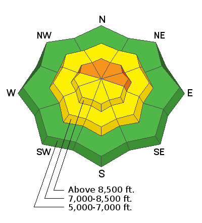
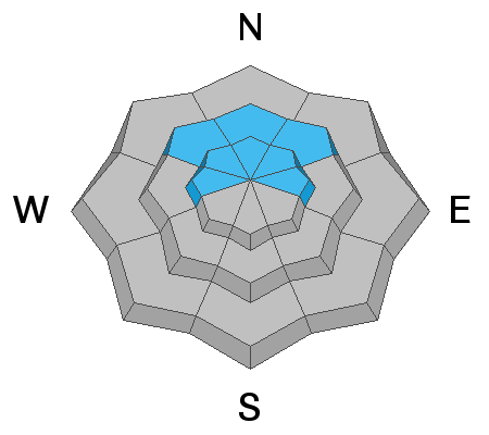
Areas with dangerous avalanche conditions exist on upper elevation slopes that held snow before the Thanksgiving storm. Human triggered persistent slab avalanches are likely. Much less danger and excellent powder conditions exist where is no old pre-Thanksgiving snow.
The Tony Grove Snotel at 8400' reports a couple inches of new snow with .2" SWE in the last 24 hours. It's 13º F and there's 39"of total snow, containing 117% of average SWE for the date. It's 7º F at the 9700' CSI Logan Peak weather station and a northwest wind is blowing around 14 mph.
It'll be mostly cloudy and snow is likely in the mountains again today, with 2 to 4 inches of accumulation possible. High temperatures at 8500' will be around 17º F, with 7 to 9 mph west wind. Wind chill values could be as low as low as -3º F. It'll be mostly cloudy tonight, with a low around 5º F, 5 to 8 mph west wind, and wind chill values as low as -5º F. High pressure will slowly work into the region from the west by midweek, followed by a new upper level trough arriving during the latter half of the week.
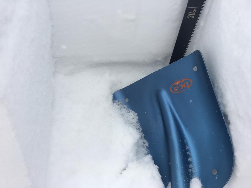
No new avalanches were reported in the Logan Zone since a natural cycle at upper elevations on Thanksgiving weekend. Audible collapses and shooting cracks continue to be reported from across the zone.


