Forecast for the Uintas Area Mountains

Sunday morning, March 4, 2018
HEADS UP... IF WINDS INCREASE OR WE RECEIVE MORE SNOW THAN FORECAST, THE AVALANCHE DANGER WILL RAPIDLY RISE TO HIGH.
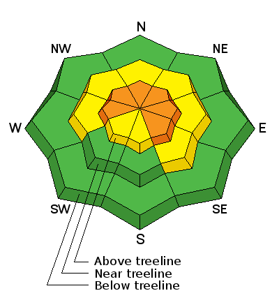
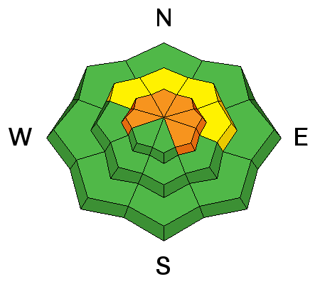
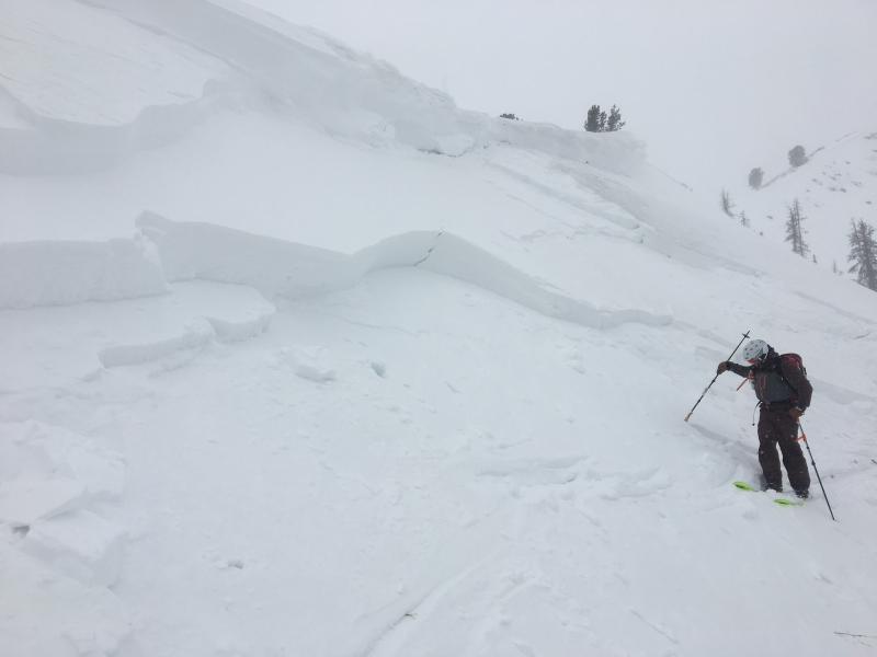
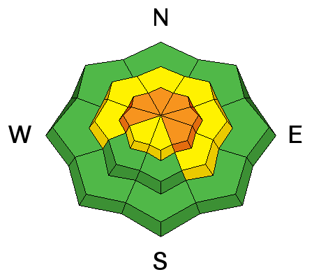
For this morning, in upper elevation terrain, especially in the wind zone at and above treeline, the avalanche danger is CONSIDERABLE. Both human triggered and natural avalanches are likely on steep wind drifted slopes facing the north half of the compass, particularly those with an easterly component to their aspect. An avalanche triggered today can quickly get out of hand if it breaks into weak layers of snow, now buried deeper in our snowpack.
Winds got into mid elevation terrain as well and you'll encounter a MODERATE avalanche danger on steep slopes with recent deposits of wind drifted snow.
LOW avalanche danger exists on lower elevation, wind sheltered terrain and on most slopes facing the south half of the compass.