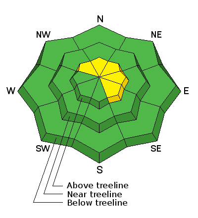
So you're probably asking yourself, "How did the avalanche danger rose go from orange and spooky to mostly green with a few wedges of yellow overnight?" You know... weather forecasting is a curious thing and our projected storm bumped to the north and didn't deliver the wind, water, or snow totals we thought it would. Of course it's a bit of a bummer, but yesterday's warm temperatures and partly cloudy skies helped the snowpack settle and gain some strength. While most slopes are good to go I bet there's a wind drift or two still lurking along the leeward side of an upper elevation ridge that'll react to our additional weight. Easy to detect by their fat, rounded appearance today's drifts will predictably break at or below your skis, board, or sled. While manageable in depth and size, remember- snow cover remains thin, so any slide triggered that breaks into older snow near the ground, will take you for a body bruising ride through stumps, rocks, or deadfall, instantly ruining your day.

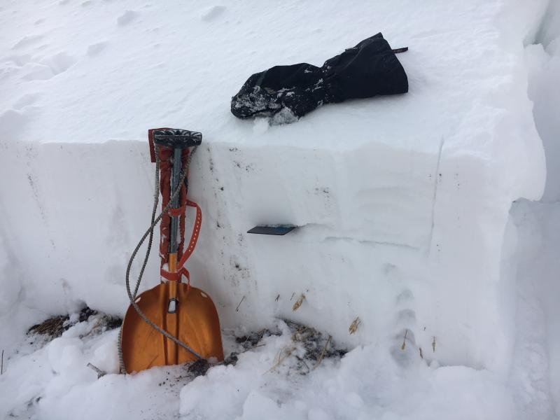
This is a good looking Uinta snowpack. In general, it's well-behaved and homogenous and we're not dealing with our usual weak snow issues near the ground. My snow crystal card is at the interface of this weeks cold snow which turned loose and sugary and now preserved and buried under Thursday night's storm.

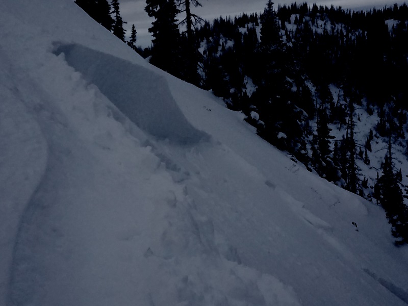
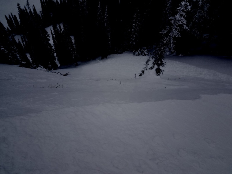
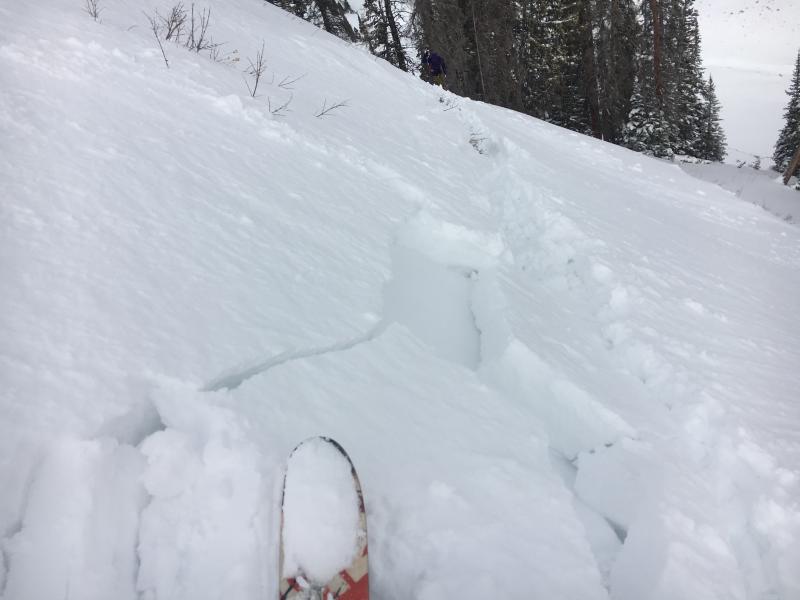
While not particularly sensitive, yesterday I did get this test slope to crack out in front of my skis. This is the type of avalanche dragon we're dealing with today.

