
Forecast for the Skyline Area Mountains

Issued by Brett Kobernik on
Thursday morning, January 7, 2016
Thursday morning, January 7, 2016
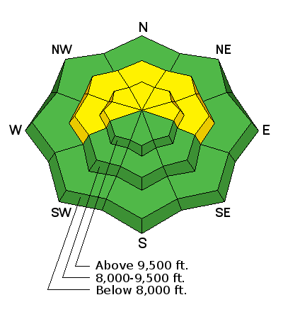
The overall avalanche danger is MODERATE. Human triggered avalanches are possible from recent wind loads and or deep weak layers failing in shallow snowpack areas. Accurate snowpack analysis and terrain selection are crucial. The avalanche danger is less in the mid and lower elevations. Watch for minor new snow avalanche activity in the high terrain.
WE MAY GET ENOUGH SNOW OVER THE NEXT FEW DAYS TO INCREASE THE AVALANCHE DANGER. STAY TUNED!
Low
Moderate
Considerable
High
Extreme
Learn how to read the forecast here


