Sign Up for the Utah Snow and Avalanche Workshop (USAW) on December 7th!

Forecast for the Skyline Area Mountains

Brett Kobernik
Issued by Brett Kobernik on
Sunday morning, November 15, 2015

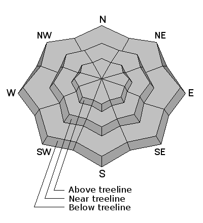
There is not much concern about avalanche danger right now. The thin snow cover makes travel difficult and stumbling or hitting rocks and stumps under the shallow snow cover is the biggest hazard right now. Expect the avalanche danger to increase on Monday if the next storm produces 6 inches or more of snow.
Low
Moderate
Considerable
High
Extreme
Learn how to read the forecast here
Weather and Snow

The storm that moved through Tuesday Oct 10th, left 6 to 14" of snow in the mountains. This snow has been becoming weak on the higher, shady slopes through a process called "near surface faceting". This weak snow that is forming could act as a persistent weak layer once it gets buried by the next significant snow storm. We will continue to monitor the snow on the ground and keep an eye on how weak it becomes and how wide spread the weakness is.

Ad
Additional Information

General Announcements

We are currently publishing avalanche advisories as needed which is mostly related to new snow storms.

If you are getting out into the mountains, we love to hear from you! You can SUBMIT OBSERVATIONS ONLINE or EMAIL US

If you would like to have avalanche advisories emailed to you, SIGN UP HERE

We can provide basic avalanche awareness presentations for your school, group or club. To enquire, CLICK HERE