Sign Up for the Utah Snow and Avalanche Workshop (USAW) on December 7th!

Forecast for the Skyline Area Mountains

Craig Gordon
Issued by Craig Gordon on
Saturday morning, January 3, 2015

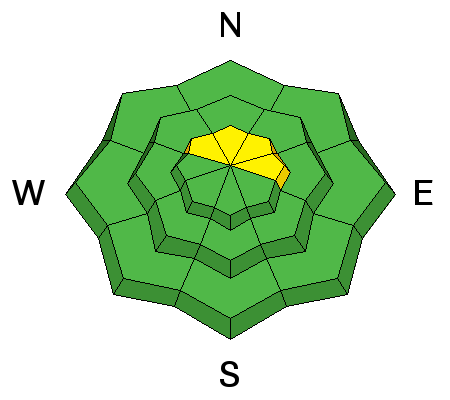
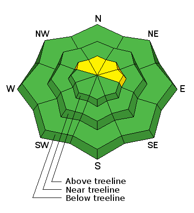
In general you'll find a MODERATE avalanche danger on recently wind loaded slopes at upper elevations and human triggered avalanches are possible. While not widespread and making up a small portion of the terrain available to ride in, slides triggered in steep, rocky, upper elevation terrain, have the potential to break to the ground, especially on slopes facing North, Northeast, and East.

A LOW avalanche danger exists on low and mid elevation slopes facing the south half of the compass and terrain that had no pre-existing snow prior to the big Christmas storm cycle.
Low
Moderate
Considerable
High
Extreme
Learn how to read the forecast here
Special Announcements

Mountain users:pls keep eyes out for missing police officer, 5'9" 160 lb white male, blue Dodge diesel truck w shell http://ow.ly/GJXB3

We just released an exciting, new avy safety video designed specifically for snowmobilers - Knowledge is Powder. https://vimeo.com/113677686

NEW THIS YEAR: You can now receive advisories by email for each region in the state. Go here for details.

Weather and Snow

Clouds rolled into the region overnight as a shallow cold front with a few flurries grazes the region. Temperatures are in the mid 20's and winds are light and variable, blowing just 10-15 mph along the summit. Snow surface conditions in the high terrain are wind damaged, but lose a little elevation, get into some wind sheltered terrain, and the snow is cold, deep, and light.

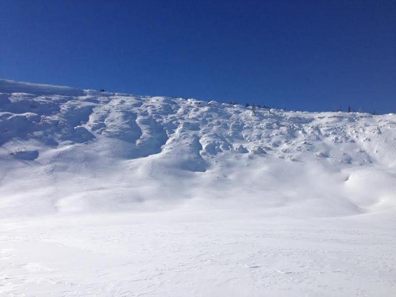
Upper elevation terrain saw a lot of east wind earlier in the week and is wind jacked and funky.

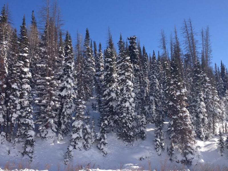
Lose some elevation and you'll be treated to deep, cold, light snow.

Click here to see what Darce and Steve are finding in their travels.

Ad
Avalanche Problem #1
New Snow
Type
Location
Likelihood
Size
Description

The Skyline snowpack is in good shape and it's about the best setup we've seen in a few years. It's not totally green light, center-punch every steep slope in sight, kinda snow, but there's lots of big terrain you can get into without incident. Steep, rocky terrain facing the north half of the compass still harbors some weak snow near the ground and this is the kind of terrain where you could still trigger a deep, dangerous avalanche. Most savvy folks I know are climbing slopes they know already avalanched big earlier in the season or shredding steeper terrain facing the south half of the compass where the surface snow is still cold and light and the avalanche danger more predictable. Here's a great video illustrating the kind of avalanche dragon we're dealing with.

Additional Information

A shallow cold front gives us cloudy skies, a few flurries, and temperatures not varying much from where we are at this morning... hovering in the mid 20's. West and northwest winds increase, blowing 15-25 mph along the ridges. Hit or miss snow showers for the next few days, before high pressure takes hold midweek with clear skies and warming temperatures.

General Announcements

Remember your information can save lives. If you see anything we should know about, please participate in the creation of our own community avalanche advisory by submitting snow and avalanche conditions. You can call me directly at 801-231-2170, email [email protected], or email by clicking HERE

This is a great time of year to schedule a free avalanche awareness presentation for your group or club. You can contact me at 801-231-2170 or email [email protected]

Donate to your favorite non-profit –The Utah Avalanche Center. The UAC depends on contributions from users like you to support our work.

Benefit the Utah Avalanche Center when you buy or sell on ebay - set the Utah Avalanche Center as a favorite non-profit in your ebay account here and click on ebay gives when you buy or sell. You can choose to have your seller fees donated to the UAC, which doesn't cost you a penny.

Utah Avalanche Center mobile app - Get your advisory on your iPhone along with great navigation and rescue tools.

The information in this advisory is from the US Forest Service which is solely responsible for its content. This advisory describes general avalanche conditions and local variations always occur.

I will update this advisory by 7:00 AM Saturday Jan. 10, 2015.