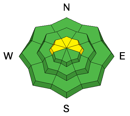
The mountains received a trace to a couple of inches of high density snow on Wednesday. Rain/snow lines were around 8000 feet. The new snow was drifting a bit along the more exposed locations. Overnight, temperatures remain mild with most stations coming in around freezing and only into the mid 20s along the 10000 foot locations. Winds bumped up in speed slightly but still only in the moderate range from a west southwest direction.
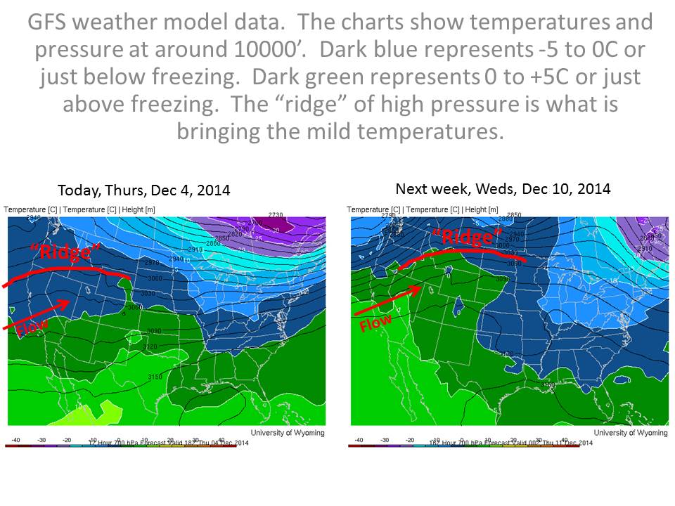
There's been a big change to the snowpack with the recent warm temperatures. It is basically wet from the ground to the surface on all aspects up to around 9000 feet. During field work on Wednesday we found the basal facets moist and non-reactive in tests at 9700 feet. Others found similar conditions but were able to get full propagation after being quite forceful. Below are a couple of good observations describing the change that's occurring. While I can't say much for the riding conditions, at least the basal facets are going through a change for the better. The caveat is we will want to continue to watch these facets in the highest terrain. Continued warm temperatures forecast for about a week to come should encourage further settlement and rounding of these weak grains.
| Salt Lake |
12/3/2014 |
Observation: Cardiff Fork |
Josh Beckner |
Details |
| Salt Lake |
12/3/2014 |
Observation: Meadows |
mark white |
Details |


