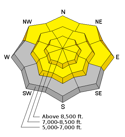
Forecast for the Logan Area Mountains

Toby Weed
Issued by Toby Weed for
Sunday, April 13, 2014

Freezing overnight temperatures helped to solidify the saturated snow. But recent hot weather has created heightened avalanche conditions, and there's still a MODERATE or level 2 danger in the backcountry. Wet avalanches and large cornice-falls are possible in steep terrain, especially during the heat of midday. Evaluate the snow and terrain carefully.

Low
Moderate
Considerable
High
Extreme
Learn how to read the forecast here
Weather and Snow

The Tony Grove Snotel at 8400' reports 95 inches of total snow, with 136% of average water content for the date. It's nice and cold this morning at the 9700' CSI Logan Peak weather station, with 19 degrees and west winds averaging around 10 mph.


Recent Avalanches

There were numerous natural wet and a few large avalanches across the mountains of northern Utah during the recent hot weather. Locally: There were a few large natural wet avalanches during the warm spell, with most of the activity on Thursday and Friday.

Visit our Backcountry Observations Page for details on the season's activity.

A large natural wet avalanche from the warm spell in North Hells Canyon in the Wellsville Mountain Wilderness. The avalanche was triggered by cornice-fall and ran around 2000 vertical feet. 4-11-2014.


Ad
Avalanche Problem #1
Wet Snow
Type
Location
Likelihood
Size
Description
  • Freezing overnight temperatures helped to diminish the danger of wet avalanches and cooler weather, clouds, and wind should keep things a bit cooler today, and we're looking forward to freezing overnight temperatures again in the mountains.
  • Wet avalanches are less likely but possible again today in steep terrain.
  • Good general rule to avoid travel in the heat of midday. It's always a good idea to get an early start and leave the mountains before the saturated snow turns to mush.
  • More dangerous wet slabs remain possible in some areas. I noticed audible collapsing in Wood Camp on Tuesday, and an observers reported the same Thursday evening in Spring Hollow and Friday in the Steam Mill Peak area.
Avalanche Problem #2
Cornice
Type
Location
Likelihood
Size
Description

Avoid and stay out from under large and overhanging cornices along major ridge-lines, which are likely to break further back than you expect and could trigger avalanches on slopes below. It's especially important to stay out from under these guys during the heat of the day, when they sag and buckle, and more will likely naturally fail and calve off in large chunks.

Additional Information

Check out our one-stop weather page........HERE

General Announcements

Utah Avalanche Center mobile app - Get your advisory on your iPhone along with great navigation and rescue tools.

Remember your information can save lives. If you see anything we should know about, please participate in the creation of our own community avalanche advisory by submitting snow and avalanche conditions. You can also call us at 801-524-5304 or 800-662-4140, email by clicking HERE, or include #utavy in your tweet or Instagram.

Follow us at UAClogan on Twitter

I'll issue weekend and intermittent advisories through April.

This advisory is produced by the U.S.D.A. Forest Service, which is solely responsible for its content. It describes only general avalanche conditions and local variations always exist.