Join us for the 17th Annual Professional Snow and Avalanche Workshop (PROSAW) on November 4 - Purchase tickets here!

Forecast for the Logan Area Mountains

Toby Weed
Issued by Toby Weed on
Friday morning, March 15, 2013

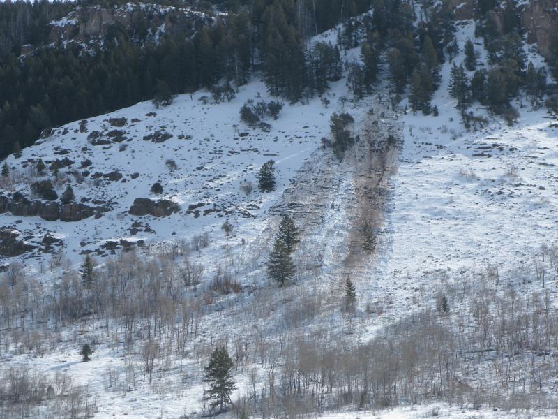
Very warm mountain temperatures are causing dangerous avalanche conditions, and the danger will rise with the heat to CONSIDERABLE (or level 3) again in the backcountry today. After an unseasonably warm night, wet and heat-related avalanches will become increasingly likely as the day warms and the already saturated snow softens. Natural avalanches are possible in steep terrain at all elevations.. Avoid and stay out from under steep slopes and obvious or historic avalanche paths. Careful snowpack evaluation, cautious route-finding, and conservative decision-making will be essential for travel in avalanche terrain today.

Low
Moderate
Considerable
High
Extreme
Learn how to read the forecast here
Special Announcements

Go to http://www.backcountry.com/utah-avalanche-center to get tickets for Beaver Mountain. You won't save a ton of money, but all proceeds from sales of these tickets will benefit the Utah Avalanche Center, and It's super easy to do.

Weather and Snow

Beware the ides of March and summer-like heat well before the official coming of spring....You'll find fairly poor riding conditions, once the snow softens up (which will probably be a bit earlier today), and the danger of wet avalanches will rise with the temperatures again in the backcountry,. The Tony Grove Snotel at 8400' reports 43 degrees, and with 54"of total snow, the station sits at 65% of average water for the date. The CSI Logan Peak weather station at 9700' reports 36 degrees and west winds averaging in the upper teens.

Recent Avalanches

Looked like hot wax melting off the mountains by yesterday afternoon, with numerous natural loose wet avalanches observed across the Logan Zone. i noticed an impressive dirty wet natural avalanche (probably from Wednesday evening) across from Red Banks Campground in Logan Canyon.

Here's a link to our updated Avalanche List.

Ad
Avalanche Problem #1
Wet Snow
Type
Location
Likelihood
Size
Description

Cloud cover may help to keep the lid on the warming today, but overnight low temperatures stayed well above freezing at most local remote weather stations, and lows were in the mid to upper 40s at several. Wet and heat-related avalanches will become likely once again as the day warms and the saturated snow softens up after a superficial overnight surface refreeze. Avoid steep terrain with warmth softened and saturated snow today, watch for potential terrain traps below steep slopes, and plan on an early departure from the backcountry due to rapidly warming conditions. In addition to the expected loose wet activity, here are a couple other issues to consider:

  • Wet persistent slabs are possible in areas with shallow snow cover and poor snow structure. Moisture from surface melting will seep down in the snowpack, moistening and lubricating existing sugary weak layers. The added stress caused by increased creep rates of the upper layers might be enough to activate buried recently moistened dormant weak layers in some areas, and warmth-caused softening of existing hard slabs could make human triggering easier.
  • Today's warmth will cause overhanging ridge-top cornices to buckle and sag, and some may naturally collapse. Cornices might break further back from the edge than expected, and cornice falls could trigger more dangerous slab avalanches on steep slopes below....
Evelyn recently published an interesting blog about wet avalanches......HERE
Additional Information

Expect partly sunny skies, with a west-northwest breeze and 9000' high temperatures of around 49 degrees. Temperatures should drop a bit below freezing tonight with mostly cloudy skies and a small chance of snow showers. There is a 30% chance of snow tomorrow morning, with less than an inch of accumulation forecast and north-northwest winds, but the good news is that high temperatures will be around 10 degrees cooler in the mountains. We should see a bit of snow and lots of wind Saturday night and Sunday, with 2 to 4 inches of accumulation forecast and sustained strong westerly winds....

Check out the Logan Mountain Weather page...

General Announcements

Want to ski all night long? And raise some funds for the UAC? By yourself or with your friends. 12 Hours of Canyons...Friday March 29th-30th. 7pm-7am. 12 hours of Canyons info...... HERE

For a printer friendly version of this advisory click HERE

Remember your information from the backcountry can save lives. If you see or trigger an avalanche, or see anything else we should know about, please send us your snow and avalanche observations. You can also call us at 801-524-5304 or email by clicking HERE. In the Logan Area you can contact Toby Weed directly at 435-757-7578.

I will update this advisory on Monday, Wednesday, Friday, and Saturday mornings by around 7:30...

This advisory is produced by the U.S.D.A. Forest Service, which is solely responsible for its content. It describes only general avalanche conditions and local variations always exist.