Forecast for the Uintas Area Mountains

Drew Hardesty
Issued by Drew Hardesty for
Saturday, November 10, 2012

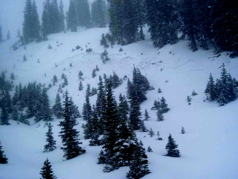
Most terrain has a MODERATE danger but may spike during times of heavy snowfall today. The danger may be higher in the upper elevation northeast through northwest facing terrain that harbors a weak facet/crust interface. Caution should be exercised on steep slopes in this terrain. Remember - it's early season - consequences are often severe for someone getting caught and dragged through rocks and downfall in the thin coverage. The game is on - carry a beacon, shovel, probe, first aid gear and travel one at a time through steeper terrain.

This advisory will be updated tomorrow morning by 7:30.

Low
Moderate
Considerable
High
Extreme
Learn how to read the forecast here
Special Announcements

Welcome to the new look of the avalanche advisory. This past summer we had a series of meetings and negotiated a unified look-and-feel of the avalanche advisories and web pages for other avalanche centers in this region including Jackson, Wyoming, Sun Valley and the Sierra Avalanche Center. Eventually all these sites should look very similar and the plan is for Colorado to join the look next winter. In another week or two we expect to have two viewing choices for the advisory page--this basic view and the "advanced" view most are familiar with from last season with colored danger ratings in the aspect-elevation diagram.

We are still in the process of transferring the pages and content from our old website to the new site, so be patient. We are also tweaking the look and design so you may notice some changes. When everything is finished, it should all be pretty cool.

Weather and Snow

It is almost a year ago to the day where we witnessed a powder feeding frenzy the Wasatch has never seen. It was then that a cold Pacific storm put a foot and a half of snow down on a house of cards. It was the first powder weekend of the season. The danger was rated Considerable. There was little regard for safety, other parties, or avalanche conditions. By the end of the day, we had suffered one fatality, one snapped femur, and six others getting caught and carried by avalanches they had triggered. All of these were in the unopened early season mountain resorts in upper Little Cottonwood Canyon.

The storm continues....

Snow totals in the western Uintas are now at 8-12". What began as white rain and graupel yesterday morning has transitioned to 6% smoke overnight. Mercifully, the punishing winds have relaxed as they've veered to the west and are now blowing 10-15mph with gusts to 20. Temps have plummeted to the mid-teens. Riding conditions are best - and safest - on low angle grassy slopes at the mid and upper north facing elevations. Previous to this storm, all southeast through south through westerly facing slopes were bare ground.

Recent Avalanches

From an excellent observation in the central Wasatch yesterday, we heard about a snowboarder in the Catherine's/Sunset Peak area in the Brighton/Alta backcountry who triggered and was caught in a 14" deep and 80' wide soft slab. He was not carried nor injured. This was on a moderately steep north facing slope at 10,400'. Photo below. You can read his, and catch up on the observations to date under Detailed Info (there at the top in the menu bar). We can't be everywhere at once and greatly appreciate backcountry observations from people like you.

Ad
Avalanche Problem #1
Persistent Weak Layer
Type
Location
Likelihood
Size
Description

Yesterday's new wind drifts may still be sensitive to prodding on any steep leeward slope or convexity. Use test slopes to your advantage and dig down into the snow to determine how well the new snow has bonded to the old melt-freeze crusts.

Avalanche Problem #2
New Snow
Type
Location
Likelihood
Size
Description

Storm snow is most sensitive during high rates of snowfall (or what we refer to as precipitation) intensity. Be alert for changing conditions and heightened sensitivity with any additional squalls of snow today.

Avalanche Problem #3
Loose Dry Snow
Type
Location
Likelihood
Size
Description

A thin melt freeze crust caps the weak metamorphosed storm snow from October 23/24 and may be susceptible to collapse from the 1.5-2" of water weight ...and any additional weight of a person. Any audible or sense of collapse in the snowpack will be damning evidence to that end...and may allow avalanches to be triggered from a distance. This may be an outlier but clearly more dangerous and unmanageable than the new wind drifts and storm snow. The adjacent locator rose has this most pronounced - but not limited to - the upper elevations of northwest through northeast facing terrain.

Additional Information

We'll see continued snowfall throughout the day with likely higher rates of snowfall in the late afternoon. Lake enhanced snowfall and continued veering to the northwest should support an additonal foot or more of low density snow through the next 24 hours...though the storm should all but wrap up by noon tomorrow. Winds should be light to moderate as they slowly shift west to northwest. Temps will continue down the elevator shaft into the upper single digits....finally bottoming out to near zero by early Sunday. Early week has a mostly westerly flow with precip riding to the north of us as we see more seasonal temps in the mid-20s. A weak-looking system follows for late Thursday.

General Announcements

If you trigger an avalanche in the backcountry - especially if you are adjacent to a ski area – please call the following teams to alert them to the slide and whether anyone is missing or not. Rescue teams can be exposed to significant hazard when responding to avalanches, and do not want to do so when unneeded. Thanks.

Salt Lake and Park City – Alta Central (801-742-2033)

Ogden – Snowbasin Patrol Dispatch (801-620-1017)

Provo – Sundance Patrol Dispatch (801-223-4150)

Dawn Patrol Forecast Hotline, updated by 05:30: 888-999-4019 option 8.

Twitter Updates for your mobile phone

Daily observations are frequently posted by 10 pm each evening.

Subscribe to the daily avalanche advisory e-mail click HERE.

UDOT canyon closures UDOT at (801) 975-4838

Wasatch Powderbird Guides does daily updates about where they'll be operating on this blog http://powderbird.blogspot.com/ .

Remember your information can save lives. If you see anything we should know about, please participate in the creation of our own community avalanche advisory by submitting snow and avalanche conditions. You can also call us at 801-524-5304 or 800-662-4140, or email by clicking HERE

Donate to your favorite non-profit –The Friends of the Utah Avalanche Center. The UAC depends on contributions from users like you to support our work.

We will update this forecast tomorrow morning. Thanks for calling.