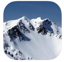
The Wasatch Backcountry Skiing Map is the mobile version of the popular paper map and website. As with the other platforms, the mobile map includes an index to more than 1,000 backcountry locations in Utah’s Central Wasatch mountain range. With its familiar interface, the Wasatch Backcountry Skiing Map accesses your mobile device’s GPS to display your current location on a high-resolution topo map. And with only a few taps, the “destination arrow” on the integrated compass will point to your desired backcountry ski location.
This is the standard reference map used by the Utah Avalanche Center and by local Search & Rescue teams, so when you reference a run on this map, everyone knows exactly where you are referring to. Purchase the map for route planning at home and for a backup in the backcountry.
https://wbskiing.com/


