Forecast for the Uintas Area Mountains

Issued by Craig Gordon on
Thursday morning, April 6, 2023
Thursday morning, April 6, 2023
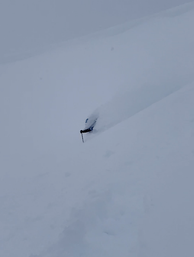
It's a tale of two distinctly different avalanche dragons as cold storm snow gets its first taste of warming temperatures and strong spring sunshine-
In the wind zone, above treeline, you'll find HIGH avalanche danger, especially in terrain facing the north half of the compass. Steep, rocky, upper elevation slopes, are particularly sketchy where human triggered, dry snow avalanches are VERY LIKELY. Lose elevation and warm temperatures deliver damp snow characteristics. The avalanche danger rises to CONSIDERABLE and human triggered avalanches are LIKELY on all steep, sun exposed slopes, especially during the heat of the day.
I know you wanna ride and avoid either avalanche dragon today and that's easy to do- get out and get after it early before the sun beats you to the punch. Choose low angle, wind sheltered terrain with no overhead hazard and get off the snow before it takes on heat.
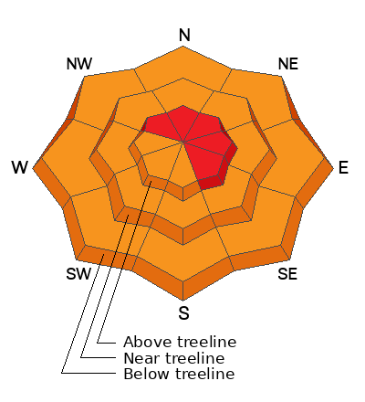
Low
Moderate
Considerable
High
Extreme
Learn how to read the forecast here