Forecast for the Uintas Area Mountains

Thursday morning, March 5, 2026
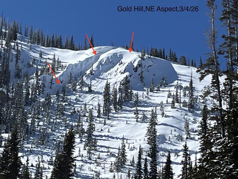
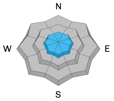
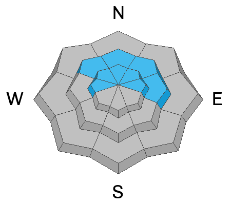
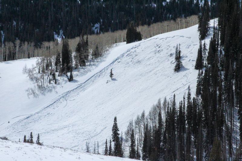
As today's storm materializes, avalanche danger rises to CONSIDERABLE, especially above treeline in the windzone. Human triggered fresh drifts are LIKELY on steep slopes, particularly those with an easterly component to their aspect. Don't take your eyes off the prize on mid elevation polars where the pack is thinner. While becoming more the exception than the rule, we can still trigger a large piece of snow that fails on weaker layers developed during the January drought, now buried several feet beneath the snow surface.
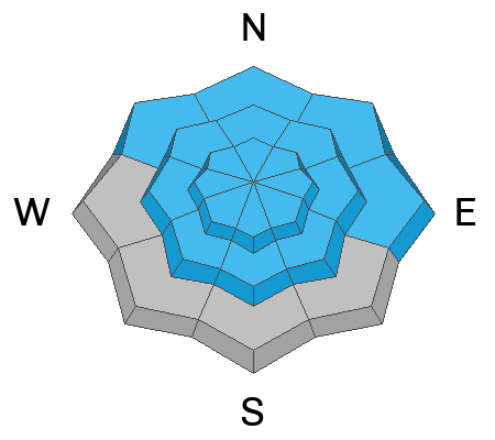
If the storm overproduces and fresh snow stacks up rapidly, expect the avy hazard to rise to MODERATE with human triggered avalanches POSSIBLE on sustained steep slopes facing the north half of the compass at all elevations. (Mid and lower elevation south facing terrain is a patchy mix of snow and exposed turf and hardly a player.)