Forecast for the Uintas Area Mountains

Issued by Mark Staples on
Friday morning, March 4, 2022
Friday morning, March 4, 2022
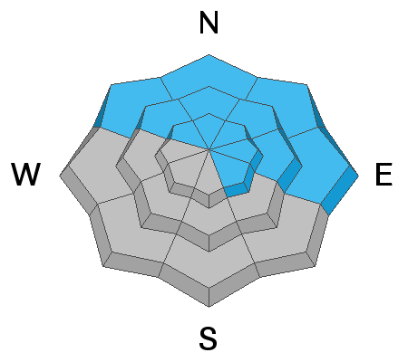
There is a weak layer of faceted snow on many slopes capped by last week's snowfall. The avalanche danger is MODERATE and human triggered avalanches remain possible on this layer on north and east facing slopes near and above treeline mostly in places where southwest winds drifted additional snow onto this layer. Today's snowfall shouldn't add up enough to drastically change the danger, but it could make avalanches in these locations a little easier to trigger.
At lower elevations, there isn't enough snow to cause avalanches on this layer, and on south and west facing slopes this layer doesn't exist. In these places the avalanche danger today is LOW.
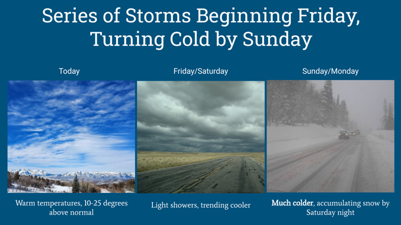
HEADS UP - The good news is that a series of storms is just beginning. The bad news is that the avalanche danger will quickly rise as snowfall accumulates. It's time to shift our mindset to riding low angle slopes that should have great powder soon.
Low
Moderate
Considerable
High
Extreme
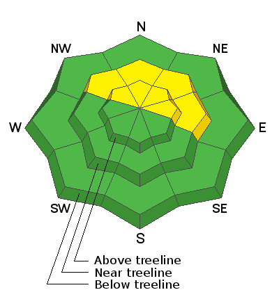
Learn how to read the forecast here