Utah has a rich history of avalanches. From the earlier mining days of Alta to the start of avalanche research and snow science in the US in Little Cottonwood Canyon in 1939. Snowpack and weather data has been collected from the Alta Guard Station every year since making it the longest snow plot history in the US. These roots made the UAC an early leader in avalanche education and forecasting.
The weekend storm is moving on and visiting our neighbors to the east, and in its wake, skies are clear and temperatures register in the teens and low 20's. Winds are hardly noticeable, blowing less than 15 mph even along the high peaks. This mornings snow surface offers crusts of varying thickness, as most low and mid elevation terrain took on some heat yesterday. However, with a little effort you'll still find soft creamy snow on upper elevation north facing slopes.
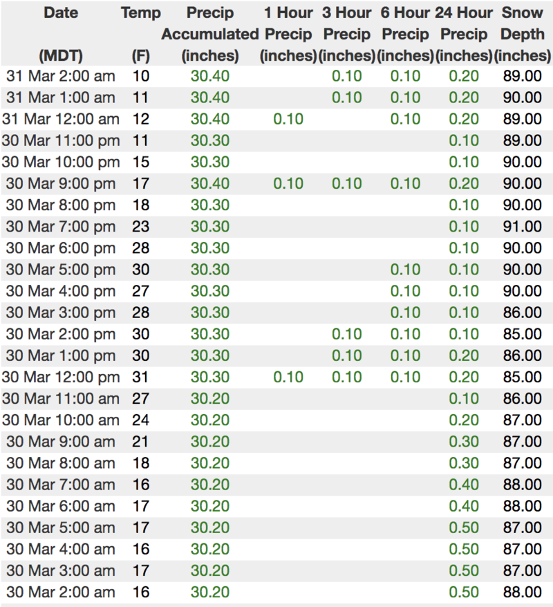
Above is hourly data from Trial Lake (9,945')
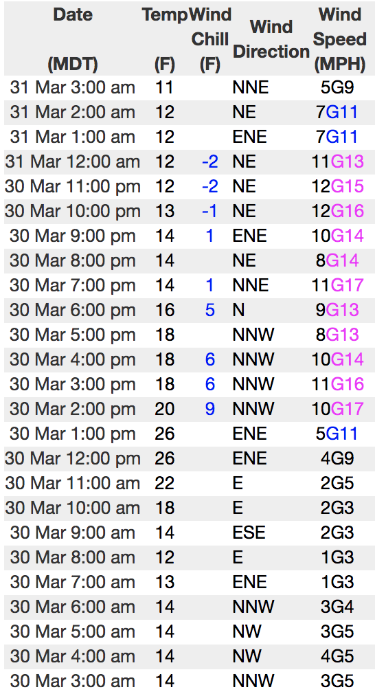
And Windy Peak (10,662')
To view more regional weather stations click
here.
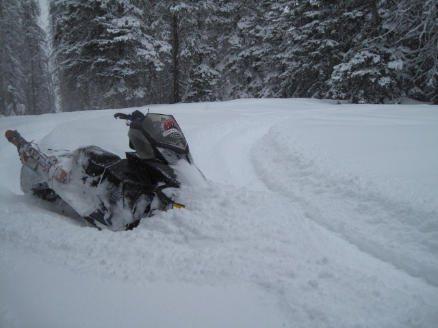
Our main man Ted Scroggin was near Gold Hill Friday and notes... "It was back to winter conditions with a nice foot and a half of new snow in the Gold Hill area. The snow throughout the day fell straight down with little wind, unless you were up along the ridge lines. A great sleeper of a storm. The new snow improved the riding conditions and it was best to stay on lower angle slopes where the old tracks and crusts were less of an issue." More on Ted's travels and insights are found
here.
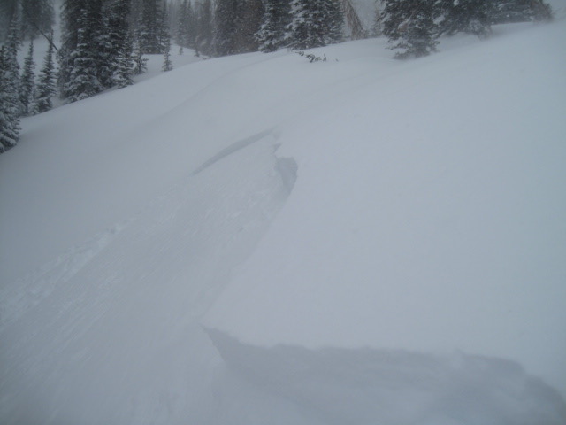
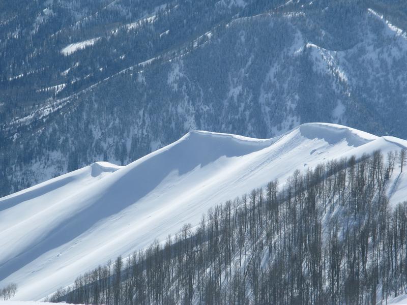
Once the sun came out yesterday, avalanche activity instantly spiked and human triggered slides were easily initiated. Breaking within the new storm snow, yesterday's avalanches averaged about a foot in depth, but ran a little further than you might expect.
Recent trip reports and avy activity found HERE.