Sign Up for the Utah Snow and Avalanche Workshop (USAW) on December 7th!

Forecast for the Uintas Area Mountains

Craig Gordon
Issued by Craig Gordon on
Saturday morning, March 11, 2017

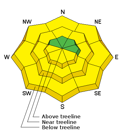
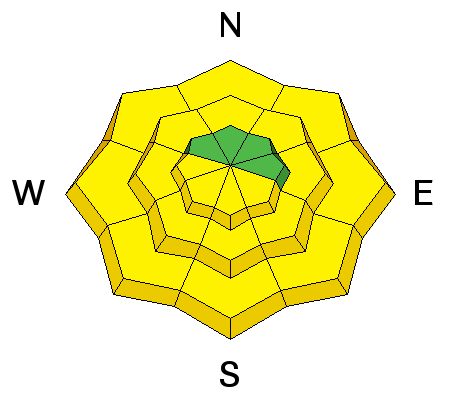
This morning the avalanche danger is generally LOW. By afternoon, the danger for wet slides and sluffs increases to MODERATE and human triggered avalanches are POSSIBLE on all steep, sun-exposed, slopes.

Low
Moderate
Considerable
High
Extreme
Learn how to read the forecast here
Weather and Snow

Last nights cold front delivered an inch of snow and allowed temperatures to dip into the mid 20's and low 30's. Northwest winds are blowing 15-25 mph along the high ridges. With a deep snowpack and solid refreeze, an early corn harvest awaits on low and mid elevation south facing terrain. On the north half of the compass, you'll still find cold creamy snow on wind sheltered, upper elevation slopes.
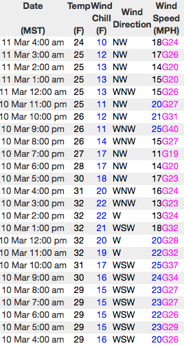
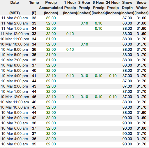
Above... 24 hour data from Windy Peak and the Chalk Creek snotel site.

Real time wind, snow, and temperatures for the Uinta's are found here
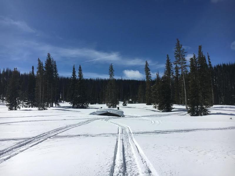

About as white as it gets... somewhere under that white lump is the Wolf Creek Campground outhouse.

Snowpack observations and trip reports are found here.

Huge thanks to BCA and all of you for helping to support the Are You Beeping, beacon checking program. Located near the Noblett's Trailhead, this is just one of the checkpoints you'll see at major trailheads throughout the range.

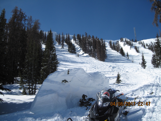
Recent Avalanches


Thick as a brick... Ted was in Humpy Basin Thursday and found these massive chunks of corni that broke off naturally, triggering a small soft slab. More on his travels here.

No new avalanche activity to report from yesterday.

A full list of Uinta avalanche activity is found here.

Ad
Avalanche Problem #1
Wet Snow
Type
Location
Likelihood
Size
Description

The sun is high in the sky and it's penetrating nearly every aspect and elevation. If you're feeling like an ant under a magnifying glass, so is the snow. This is the time of year when you wanna think about your late in the day, exit strategy. As the snow turns damp and manky, you'll need to get off of and out from under steep, sunny slopes and avoid terrain traps like gullies and road cuts where tree snapping, cement-like debris can stack up very deeply.

Avalanche Problem #2
Cornice
Type
Location
Likelihood
Size
Description


Corni... they come in all shapes and sizes and some are larger than others. In either case, these unpredictable pieces of snow are breaking further back than you might expect and you definitely don't want to be on the receiving end of one of these boxcar-like monsters.

Additional Information

Today, look for sunny skies this morning with temperatures rising into the low 40's. By late afternoon, high clouds drift into the region as another weak cold front slides through the area. A stronger ridge builds behind this system and cooler temperatures, along with clear skies are on tap for Sunday. High pressure builds for next week with no storms in sight.

General Announcements

Remember your information can save lives. If you see anything we should know about, please participate in the creation of our own community avalanche advisory by submitting snow and avalanche conditions. You can call me directly at 801-231-2170, email [email protected]

The information in this advisory is from the US Forest Service which is solely responsible for its content. This advisory describes general avalanche conditions and local variations always occur.

The information in this advisory expires 24 hours after the date and time posted, but will be updated by 7:00 AM on Sunday March 12th.