The UAC's Avy Awareness Auction is currently underway with tons of great gear, jewelry, artwork and experiences available. Visit the auction page here to help support the UAC's spring avalanche awareness and outreach efforts.
Click
here for more details.
And... a new version of the UAC IOS application is now available on the Apple App Store. This version fixes many of the issues that occur when running IOS 13.
Click
here for more details.
Currently-
As high pressure builds, skies are clear and temperatures have warmed by about 10 degrees since the beginning of week, currently registering in the upper teens and mid 20's. Westerly winds are generally light and reasonable, blowing just 10-20 mph along the high ridges.
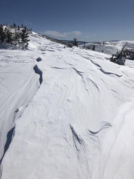
It's hit or miss out there. Recent winds blasted our high alpine terrain and there's a lot of old, hard, scratchy surfaces. But on a go-anywhere base, if you seek out mid elevation, wind sheltered slopes, you'll be rewarded with shallow, creamy snow.
Uinta weather network info is found here. Simply click on the Western Uinta tab.
For today-
Look for mostly sunny skies with temperatures climbing into the mid 30's as a dry, northwesterly flow remains in place today and tonight. Ridgetop winds remain well-behaved, blowing in the teens and low to mid 20's.
Futurecast-
A much needed coat of white paint gives the range a reset this weekend. Thickening clouds, warm temperatures, and increasing southerly winds are on tap for Saturday with snow developing late in the day. 6"-10" looks like a good bet by late Sunday. A break on Monday and then another shot of moisture slated for Tuesday, though it just looks like a weak brush-by, delivering just a few inches of snow.
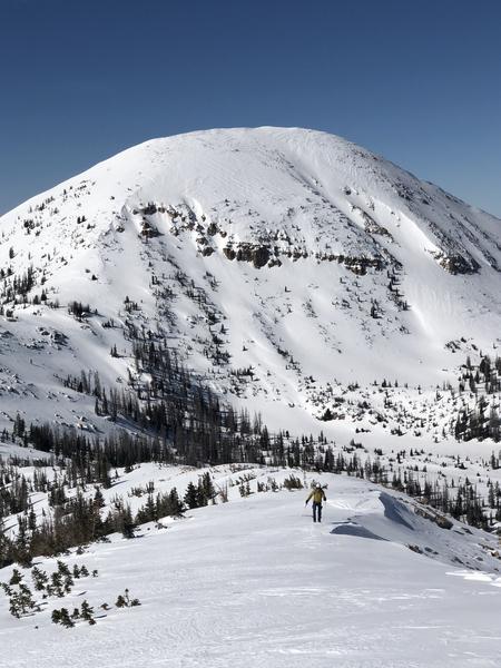
You came for the snow, but I encourage you to look around and stay for the scenery. My colleague Greg Gagne was amongst the giants near Bald Mountain yesterdays and reports stunning views and a mostly stable snowpack. His trip report and insight is found
here.To view additional trip reports and recent avalanche activity, simply click
here.