Forecast for the Uintas Area Mountains

Issued by Craig Gordon on
Saturday morning, February 22, 2025
Saturday morning, February 22, 2025
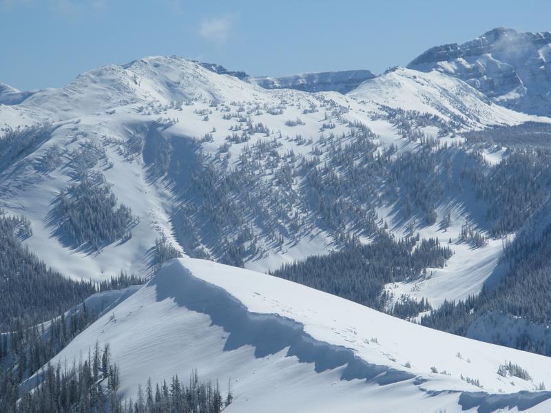
Recent storm snow gets a blast of warmth and strong spring sunshine today and that one-two punch may help reactivate several weak layers now buried deeply in our snowpack-
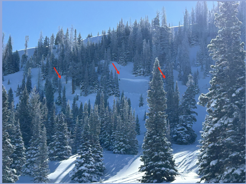
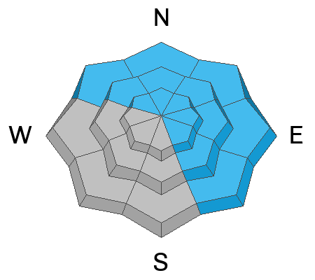
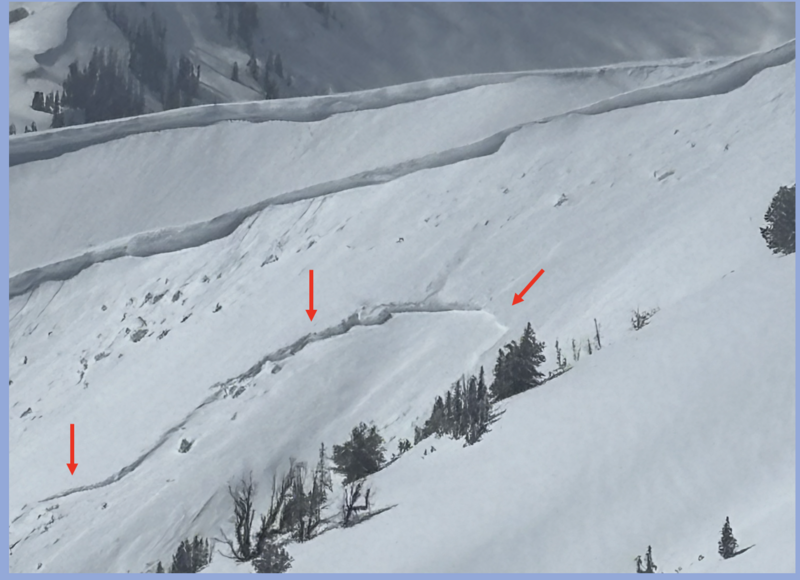
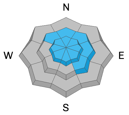
You'll find CONSIDERABLE avalanche danger today at and above treeline on slopes facing the north half of the compass. Human triggered avalanches are LIKELY, especially in steep wind drifted terrain, and particularly on slopes with an easterly component to their aspect. Once initiated, avalanches may break to older layers of snow, delivering a dangerously large slide that'll throw a curve ball at your day.
Lower elevation shady terrain offers MODERATE avalanche hazard and a more straightforward setup. Human triggered storm snow avalanches are POSSIBLE on steep wind drifted slopes.
The riding is firing and it's easy to have an absolute blast by avoiding avalanche terrain altogether. Wide open meadows and low angle slopes with no overhead hazard offer plenty of options and generally LOW avalanche danger.
Low
Moderate
Considerable
High
Extreme
Learn how to read the forecast here