Forecast for the Uintas Area Mountains

Friday morning, January 2, 2026
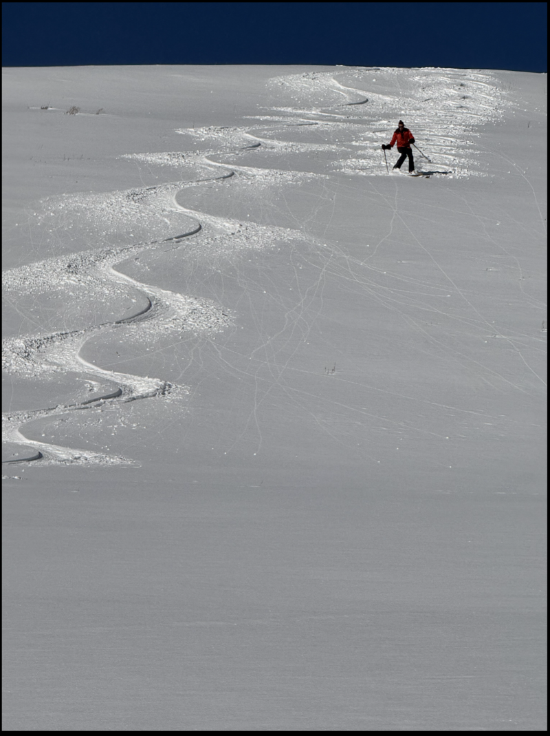
While we slept, Mother Nature clocked in, racked up a little overtime and avy danger has bumped up a notch-
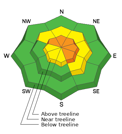
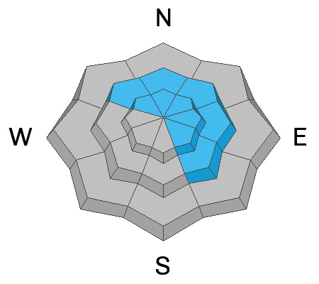
Today, CONSIDERABLE avalanche danger exists and human triggered avalanches are LIKELY, but for two distinctly different avalanche dragons. First, the predictable... storm snow and fresh drifts will react to our additional weight particularly on steep, mid and upper elevation, north facing, polar slopes. Second, the rough, rowdy, and unpredictable... avalanches breaking deeper and wider than you might expect, especially in the windzone on steep, rocky slopes where dense, hard snow rests on weak, sugary, early season facets.
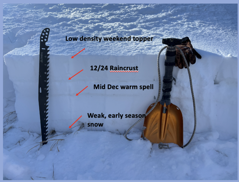
Don't forget.... storm snow is stacking up on a stout and very Grinchy, Christmas Eve raincrust and once initiated, today's avalanches will be packing heat.