Forecast for the Uintas Area Mountains

Craig Gordon
Issued by Craig Gordon for
Wednesday, February 15, 2023
Strong northeast winds deliver MODERATE avalanche danger on leeward slopes above treeline. A bit more burly than yesterday, today's drifts will react to our additional weight and could knock us off our feet. Human triggered avalanches are POSSIBLE, especially on steep slopes in the wind zone facing the SOUTH half of the compass. Lose the wind and you lose the problem. LOW avalanche danger is found around the dial in mid and low elevation wind sheltered terrain where human triggered avalanches are UNLIKELY.

Low
Moderate
Considerable
High
Extreme
Learn how to read the forecast here
Weather and Snow
Nowcast- Yesterday's storm slides into the four corners and that always brings an unwelcome combo of northeast wind and very cold temperatures. Currently, under partly cloudy skies, temperatures start the day in the single digits at the trailheads, but along the ridges they clock in right around -6 degrees as northeast winds blow in the 60's. Factoring in windchill, temperatures are dangerously cold, right around -40 degrees (or 232 degrees Kelvin)... which ever you prefer. In either case, riding and turning conditions have gone from hero to zero, though I bet a few swaths of cold, creamy snow exist in very wind sheltered, mid and low elevation terrain.
Forecast- Look for mostly cloudy skies with an occasional snow shower or two. High temperatures barely crack into the teens and crater into negative territory overnight. Northeast winds crank in the 50's and 60's this morning, but taper off as the day wares on.
Futurecast- High pressure builds Thursday into the weekend with a hint for storminess to start the work week. Details are hazy, but we'll narrow things down in the next few days and report back to y'all soon.

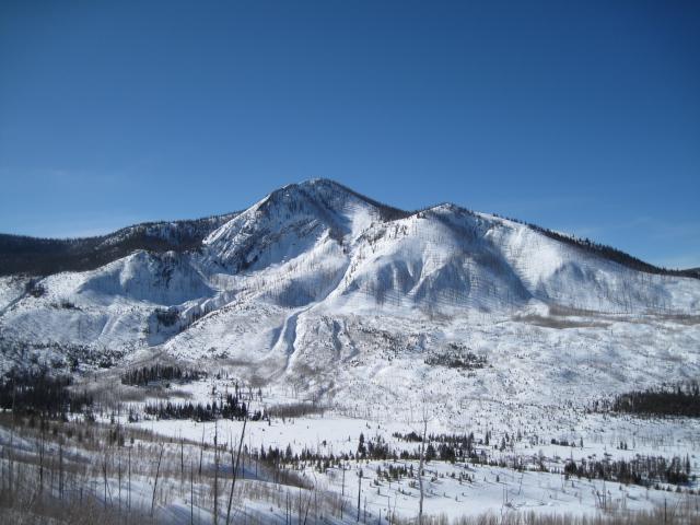
Ted was on the east side of the range and comments... "I don't remember when I've seen the East Fork Bear Drainage look this white and filled in, normally this is a very thin and sparse area. Click HERE for Ted's informative trip report and always informative insights.
Huge thanks for all the great obs streaming in from the eastern front. Even more detailed trip reports and recent obs are found HERE.
Recent Avalanches
No significant avalanche activity to report, but if ya wanna geek out, click HERE to track this years slide activity throughout the range.
Ad
Avalanche Problem #1
Normal Caution
Type
Location
Likelihood
Size
Description
Strong northeast winds find enough loose snow to blow around and whip up a fresh batch of drifts on the leeward side of ridges and around terrain features like chutes and gullies, especially those facing the south half of the compass. More widespread and more connected than yesterday, todays drifts may break deeper and wider than you'd expect. Today you'll wanna be on the lookout for and avoid fat, rounded pieces of snow, especially if they sound hollow like a drum. You know the program... lose the wind and you lose the problem.

Additional Information
Weather stations-
And... rime events have severely crippled the Uinta weather station network. I'm working to get it back up and running, but a few stations are found HERE (click weather stations, and then on the Western Uinta tab)
Observations-
Your observations are important, so please let me know what you're seeing... click HERE and contribute to this amazing community-based program
General Announcements
Issued at 03:22 on Wednesday February 15th, this forecast expires 24 hours after the date and time posted, but will be updated by 07:00 Thursday February 16th 2023.
Before it gets too crazy, now is the time to book an avalanche awareness presentation for your group, club, or posse. You can reach Craig directly at 801-231-2170 or [email protected].

This forecast is from the U.S.D.A. Forest Service, which is solely responsible for its content. This forecast describes general avalanche conditions and local variations always occur.