Join us at our 2nd Annual Blizzard Ball

Forecast for the Uintas Area Mountains

Craig Gordon
Issued by Craig Gordon on
Wednesday morning, December 25, 2024
Heads up... a series of storms is slated to slide into the Uinta zone the next couple days and our time with straight-forward avy danger has a limited shelf life-
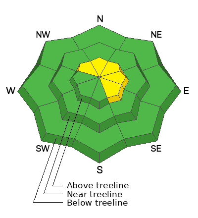
The walls aren't caving in, but a little wind and storm snow conspire to create pockets of MODERATE avalanche danger at and above treeline. Human triggered avalanches are POSSIBLE especially on steep, rocky, leeward slopes, and particularly in terrain facing the north half of the compass. Once triggered, today's avalanches may break deeper and wider than you might expect, revealing a host of season ending obstacles like stumps, rocks, or deadfall.
Lose some elevation, lose the wind and you lose the problem... mid and low elevation terrain offers generally LOW avalanche danger around the dial and human triggered avalanches are UNLIKELY.
Remember... it's still low tide and there's a whole 'lotta reef out there. Rock and stump tagging conditions are a significant hazard so you'll wanna throttle it down a titch 'til the snowpack matures a bit more.
Low
Moderate
Considerable
High
Extreme
Learn how to read the forecast here
Special Announcements
Hoping everyone has a safe holiday and a Merry Christmas... baby!
Weather and Snow
Nowcast- Our Christmas storm began at the turn of the new day, but snow is slow to stack up with just and inch or two falling so far. Temperatures near the trailheads start their day rather mild and in the low 30's, while near the peaks, it'll feel more winter-like and in the upper teens. Southerly winds are rather well-behaved, even near the high peaks where they blow 15-25 mph. Riding and turning conditions are hit or miss, though swaths of soft snow are still found on wind sheltered, shady slopes.
Forecast- The storm is still on track to deliver a couple more inches of snow, but it should be winding down by about late morning. Winds shift to the northwest just in time for sunrise and remain reasonable, blowing in the 20's near the high peaks. High temperatures don't vary much from where we're at this morning and dip into the teens under clearing skies overnight.
Futurecast- An active pattern is still on track to wrap up the work week. Look for a break in the action early Thursday with another shot of snow slated for late in the day, lingering into Friday. A series of storms delivers unsettled weather along with denser snow through the weekend. We might be looking at some encouraging snow and water numbers by early next week. Fingers, toes, and eyes crossed :)
Travel & Riding Conditions-
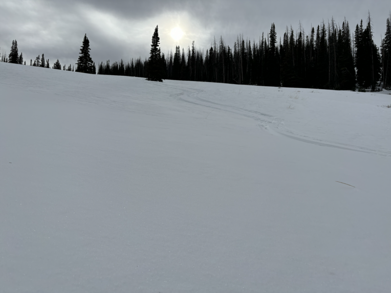
Andy found acceptable riding conditions yesterday, though the flat light and familiar whistle from the gray-bird overhead delivered a slightly underwhelming day. Remember, it's still low tide out there and yeah... the snowpack is a mixed bag of snow surfaces, structures, and depth.
Recent Avalanches
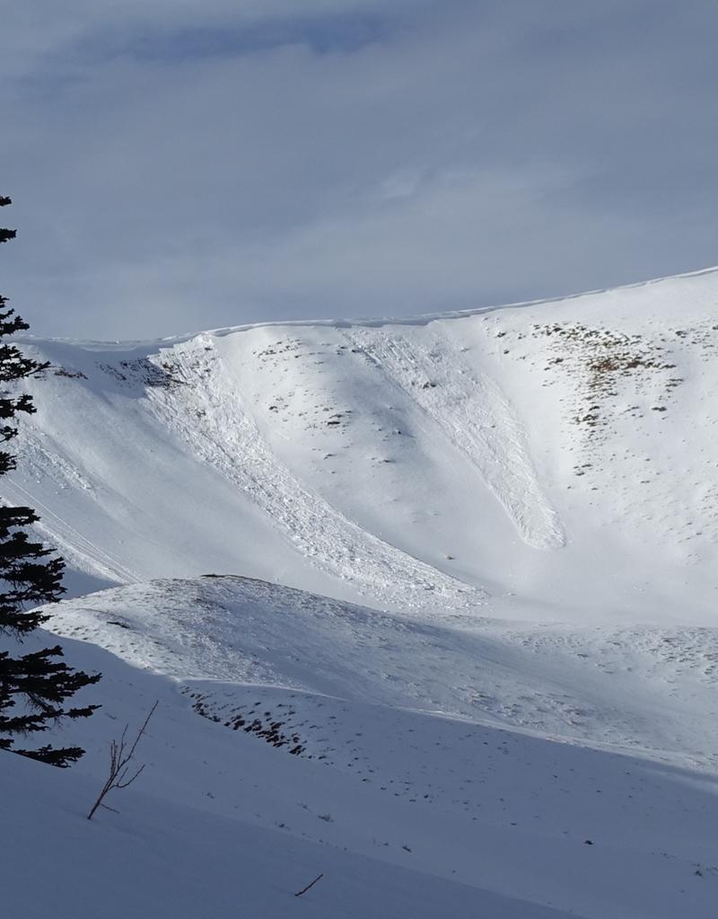
It's been a week since we've seen or heard of any avalanche activity in the Uinta zone. But avalanches like in the image above, give us a peak under the hood into our snowpack's personality and what's to come once our weak layering is overloaded with dense, heavy snow or wind.
If you're looking for info, travel obs, and avalanches from the western Uinta range and from around the state, well then, you came to the right place... simply click here!
Ad
Avalanche Problem #1
Wind Drifted Snow
Type
Location
Likelihood
Size
Description
Overnight storm snow coupled with winds, team up to create fresh drifts reactive to our additional weight. Found mostly on the leeward side of upper elevation ridges, I wouldn't be too surprised to find a shallow drift or two cross-loaded in a terrain feature like a chute or gully wally. In either case, I'm gonna look for and avoid any fat looking piece of snow, especially if it sounds hollow like a drum
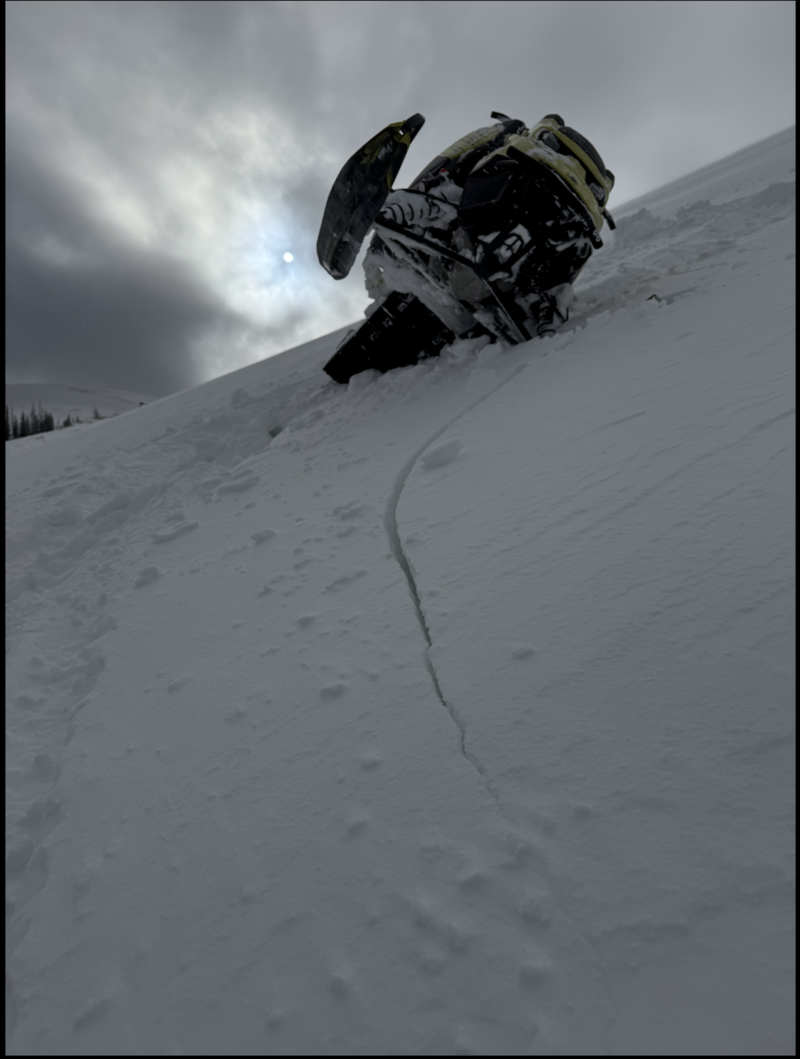
Clues like shooting cracks out in front of our skis, board, or sled are a huge red flag.
Avalanche Problem #2
Persistent Weak Layer
Type
Location
Likelihood
Size
Description
I don't think there's enough water in today's storm snow to activate dormant weak layers in the snowpack, but let's not take our eyes off the prize... the snowpack structure is a mess. With more storms in the queue, I expect buried weak layers are gonna come back to life, creating deceptively dangerous avalanche conditions by late in the weekend.
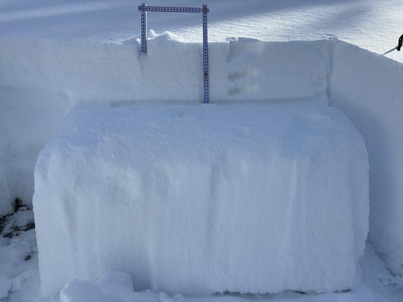
More snow and water is on the way and our focus should begin to shift accordingly to weak near surface facets buried 6"-10" below the snow surface.
General Announcements
The Uinta weather station network was upgraded this summer and all that real-time info is found here. Simply click on the "Western Uinta" tab and then the "Weather Stations" tab to find all your weather needs.
We are always looking for snow and avalanche observations or just general riding conditions. So... if you see something, say something. You can reach our team directly by contacting: Craig at [email protected], 801-231-2170, or Andrew at [email protected], or 860-460-8142.
General Information
This forecast is from the U.S.D.A. Forest Service, which is solely responsible for its content. This forecast describes general avalanche conditions and local variations always occur. This forecast was issued on Wednesday, December 25th at 03:30 AM and expires 24 hours after it was issued. We will update the forecast by 0700 AM tomorrow. But, in the meantime reach out to us with questions, or if you see anything in your travels.