Forecast for the Uintas Area Mountains

Mark Staples
Issued by Mark Staples for
Monday, December 25, 2023
Merry Christmas! Today the avalanche danger is LOW and human triggered avalanches are unlikely. There could be a few shallow slabs of wind drifted snow to watch for at upper elevations. Otherwise tread lightly as the snowpack is still thin and barely covering rocks, logs, and stumps.
Low
Moderate
Considerable
High
Extreme
Learn how to read the forecast here
Special Announcements
To fulfill our mission, the UAC relies on our amazing backcountry community. Your support helps pay for the daily avalanche forecast, free awareness presentations across the state, and new tools like the new Avalanche and Observation Explorer. As the end of the year approaches, please consider donating to the UAC.
Weather and Snow
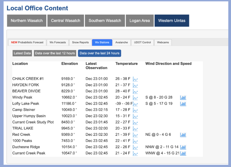
This morning temperatures are in the single digits F except around Strawberry Reservoir where it's in the negative single digits F. Winds continue from the north averaging 10-25 mph gusting to 30 at higher elevations and much calmer at lower elevations.
Today will be mostly sunny and cold again with temperatures only in the teens F. North winds will continue and fortunately not be too strong except at higher elevations.
This week a series of ridges of high pressure will keep the weather dry and bring warmer temperatures. A few clouds may pass over northern Utah but no snow is expected until possibly next weekend.
Generally there's about two feet of snow in the Uintas although you can find a few places at upper elevations with closer to three feet. There are three basic layers in the snowpack seen in the photo below with a few inches on top from Saturday's storm.
Photo below of the snow at Gold Hill, 2 feet deep, NW facing at 9800 ft from Tuesday, Dec 19.
Recent Avalanches
No avalanches have been reported in the Uintas. There have been just a few small wind slabs triggered by ski patrols in the Wasatch.
Trip reports and the latest observations are found HERE.
Ad
Avalanche Problem #1
Wind Drifted Snow
Type
Location
Likelihood
Size
Description
A few inches of new snow from Saturday was drifted at the highest elevations by north winds. Craig found evidence of this drifting on a quick trip for some turns at Wolf Creek Pass. At the highest elevations you may find a few shallow slabs of wind drifted snow to trigger, but generally there wasn't too much snow or too much wind.
Photo from Wolf Creek Pass of some drifting by winds from the northwest
Additional Information
Craig upgraded the Uinta weather station network this summer and all that real-time info is found HERE. Simply click on "western Uinta" tab and then "weather stations" tab.

We are always looking for snow and avalanche observations or just general riding conditions. So... if you see something, say something. You can reach me directly at [email protected] or 801-231-2170.
Also, if you're looking for more avy education opportunities for yourself, your crew, or your club please don't hesitate to reach out to me and we'll find a presentation, class, or clinic for ya!
General Announcements

Issued at 0700 on Monday, December 25th this forecast will be updated by 0700 Tuesday, December 26th, 2023.
This forecast is from the U.S.D.A. Forest Service, which is solely responsible for its content. This forecast describes general avalanche conditions and local variations always occur.