Forecast for the Uintas Area Mountains

Craig Gordon
Issued by Craig Gordon for
Thursday, December 21, 2023
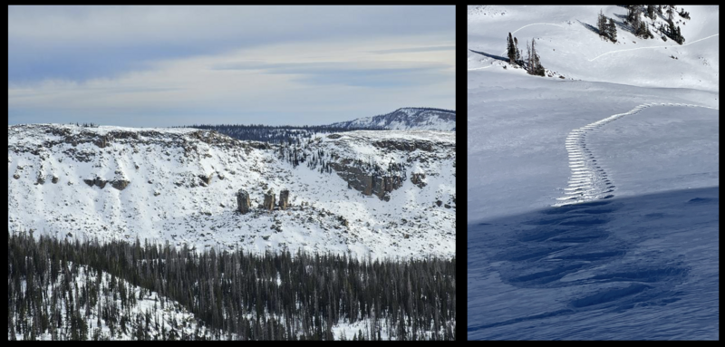
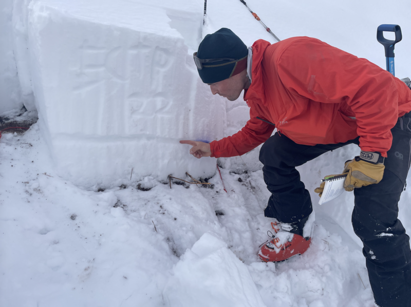
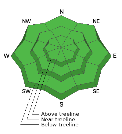
Winter solstice and LOW avalanche danger are found in the western Uinta's today, where both human triggered and natural avalanches are UNLIKELY on all aspects and all elevations. Remember- low danger isn't no danger which is why we carry avalanche rescue gear everyday, travel with experienced partners, and only expose one person at a time to potential hazard.

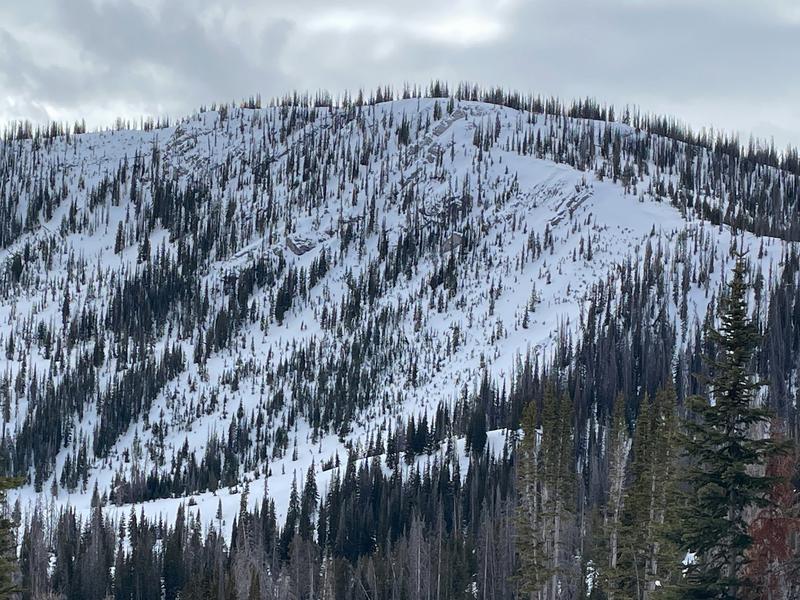
Remember... tread lightly! The pack is white from far, but far from white and there are plenty of hidden treasures barely buried under our thin facade of snow. Getting after it and slamming into an obstacle may result in damage to ourselves, our gear, or even worse... our ego.
Low
Moderate
Considerable
High
Extreme
Learn how to read the forecast here
Weather and Snow
Nowcast- Mild temperatures greet the winter solstice with the mercury hovering in the mid 20's. A few high clouds drift through the Uinta zone early this morning, but by the time you're sipping a warm, morning beverage, I bet clear skies are the norm. Winds blowing from the south barely spin ridgetop anemometers with hourly averages in the teens. Yesterdays little storm delivered a thin coat of white paint... nothing to get too excited about, but a little eye-wash for our mountains none-the-less.
Forecast- A beautiful morning is on tap. High pressure brings dry and mild conditions across the area today with temperatures soaring into the mid and upper 30's. Southerly winds remain well-behaved, though mid and high clouds thicken as the afternoon progresses.
Futurecast- Friday the weather changes gears. A cold front remains on track for Saturday morning... not quite 4-wheel drive and chains weather, but a good shot of snow is slated for the latter half of the day. A little uncertainty on storm totals at the moment. I'm cautiously optimistic 4"-8" blankets our mountains for Christmas Eve.

Riding and turning conditions are a mixed bag with sunnies offering a variety of crusts and generally thin travel. But switch aspect, gain elevation and go visit the high shady's which deliver soft, creamy snow in upper elevation, wind sheltered terrain facing the north half of the compass. I know it's crazy this time of year. But getting into the mountains and taking a big breathe of fresh air sure does provide a calm, happy place to get grounded for a minute or two.
Recent Avalanches
It's been quiet on the eastern front with no significant new avalanche activity reported for nearly two weeks.
Trip reports and the latest observations are found HERE.
Ad
Avalanche Problem #1
Normal Caution
Type
Location
Likelihood
Size
Description
I was in Upper Weber Canyon yesterday with my partner Trevor and we experienced localized cracking and sandbox travel on slopes facing the north half of the compass, especially in terrain with a shallow snowpack. Here, Trevor points to the mid November weak layer that's become a bit sluggish overtime, yet still reacts with a good thump. (ECTP 22). Meanwhile, Tony P was in the Mill Hollow zone and saw a similar setup in a shallow snowpack region.
With an incoming storm on tap for the weekend, my partner and I deliberately stomped around in terrain where we knew we could find weak snow... yeah, sometimes challenging, but most definitely worth the feedback. Our travels reveal the (persistent weak layer or PWL) about 30 cm off the ground, remains reactive to our snowpit stability tests. But for the moment, this layer is dormant and happy in its own skin. Now, I don't think the weekend storm is gonna do much to tip the scales, instead it feels like it'll nickel and dime us. But let's not take our eyes of the prize... once winter returns from its hiatus, this structurally challenged setup doesn't bode well for stability.
What might be a greater concern in the near term is the diminishing strength of the surface snow created during our recent stretch of high and dry weather. Sure, this surface snow carves nicely and is fun to ride. But today's noisy pow, or in snow-geek-speak... near surface facets, is tomorrow's weak layer which could deliver a tricky setup when it storms again and new snowfall builds a cohesive slab on top.
Additional Information
Mark snapped this image of Gold Hill Tuesday and it's looking like the North Slope could add a few more carbs to its macro nutrients program.
Snow depths at our automated weather stations range from 16-27 inches, but some favored areas at higher elevations report nearly three feet. South facing slopes have minimal snow that should be damp today. North facing slopes still have soft and surprisingly supportable snow.

We are always looking for snow and avalanche observations or just general riding conditions. So... if you see something, say something. You can reach me directly at [email protected] or 801-231-2170.
Also, if you're looking for more avy education opportunities for yourself, your crew, or your club please don't hesitate to reach out to me and we'll find a presentation, class, or clinic for ya!
General Announcements

Issued at 04:30 on Thursday, December 21st this forecast will be updated by 0700 Friday, December 22nd, 2023.
This forecast is from the U.S.D.A. Forest Service, which is solely responsible for its content. This forecast describes general avalanche conditions and local variations always occur.