Forecast for the Uintas Area Mountains

Issued by Craig Gordon on
Saturday morning, December 11, 2021
Saturday morning, December 11, 2021
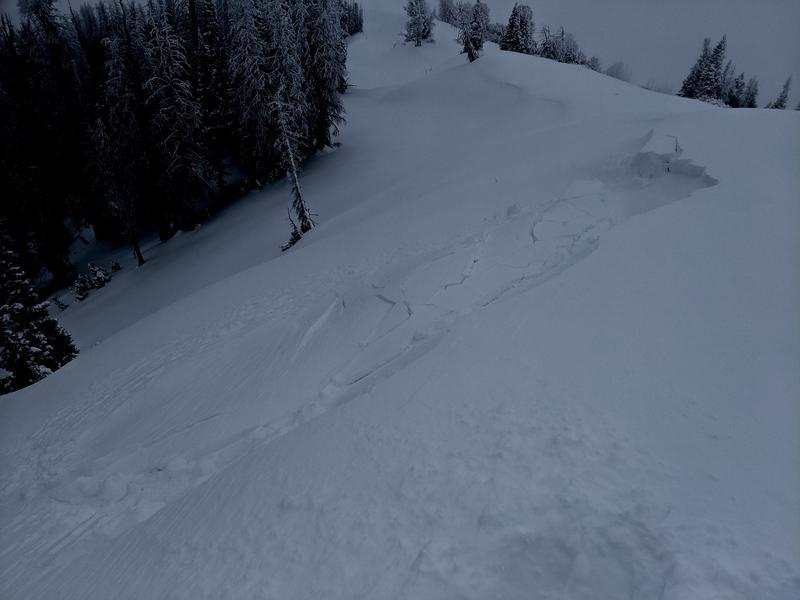
Heads up... the recent storm changed the landscape and bumped the avalanche danger up a few notches.
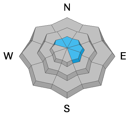
A MODERATE avalanche danger is found on upper elevation terrain facing the north half of the compass and human triggered avalanches are possible, especially on steep wind drifted slopes and particularly those that harbor old October snow. And remember... any avalanche that fails on older snow may break deeper and wider than you might expect, revealing a myriad of season ending obstacles. But here's the good news, simply switch aspect and set your sights on terrain that was bare prior to yesterday's big storm. You'll find generally LOW avalanche danger on slopes facing the south half of the compass.
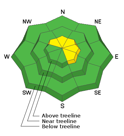
Low
Moderate
Considerable
High
Extreme
Learn how to read the forecast here