If you missed the 13th Annual Utah Snow and Avalanche Workshop, the recordings are available for purchase from the UAC Store.
Click
here for more details.
Looking for ways to navigate the winter ?
Nowcast-
A weak cold front slid through the region overnight, producing a couple traces of snow and cooler temperatures. Under mostly cloudy skies, temperatures are in the mid 20's and low 30's and westerly winds blow 10-20 mph along the high ridges.
Forecast-
Skies clear as the day progresses, winds remain reasonable, and high temperatures don't climb much from where we're at this morning.
Futurecast-
Another weak storm is slated on Friday, with high pressure building for the weekend. A glimmer of hope for a stronger system is on the horizon for mid, next week.
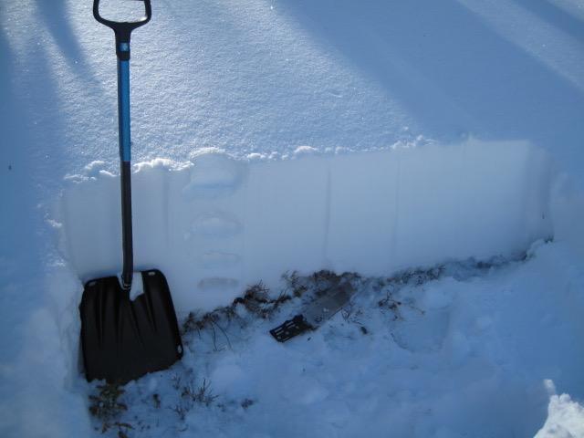
Our shallow snowpack has some body and Ted noted, "Although the snow pack is generally around two feet deep, more up higher, the conditions are looking good. I found some old late October snow near the ground that looked weak and sugary, but it was damp and I could make a snow ball with it."
Looking for real-time temps, snow, or wind?
Click
here and then on the "western Uinta" tab for western Uinta specific, weather station network.
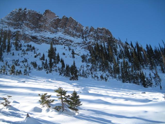
No new avalanche activity to report, but there's just enough snow to ride and of course, enough snow to slide. And remember- even a small avalanche this time of year will instantly end your season if you slam into a rock, or stump, or get raked through deadfall. But that doesn't mean you can't ride, you just need to tone it down a few notches. As a matter of fact, you can still have a blast on lower angle terrain.
To view trip reports and recent avalanche activity, simply click
here.