Donate to the 2024 Spring Campaign to help rebuild the UAC website.

Forecast for the Uintas Area Mountains

Craig Gordon
Issued by Craig Gordon for
Sunday, November 13, 2022
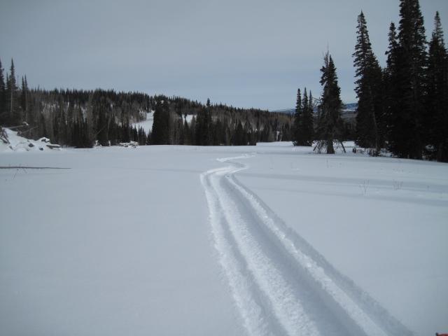
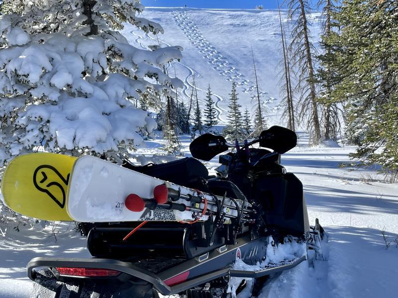
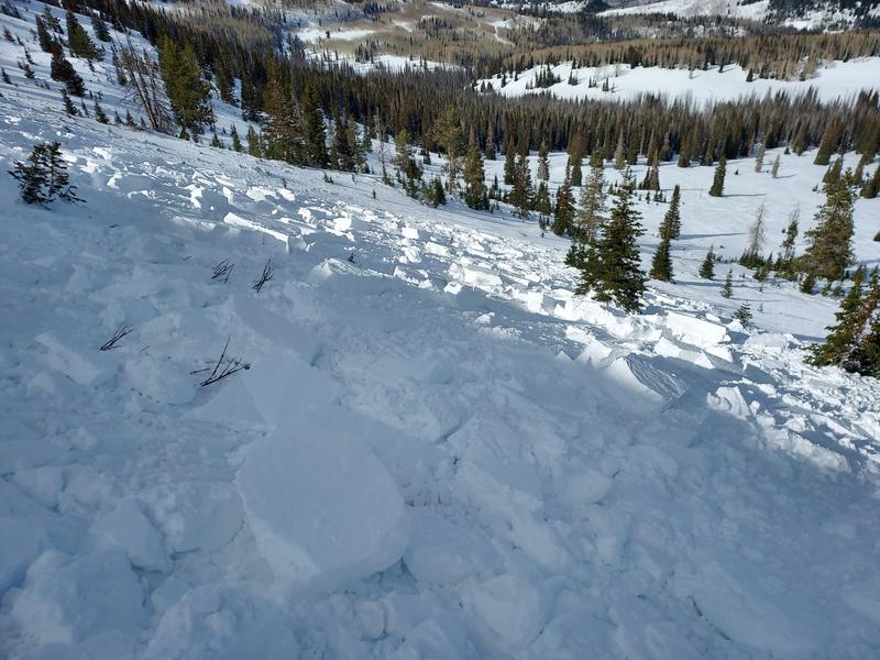
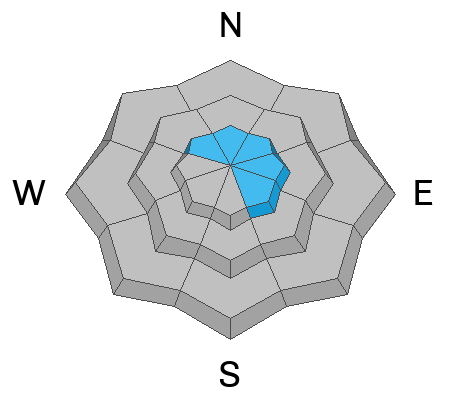
The recent series of storms formed strong, dense layers near the ground and the solid building blocks of a designer snowpack. We're off to a great start, BUT I'd still be on the lookout for a few old drifts lurking on the leeward side of upper elevation ridges and around terrain features like chutes and gullies. Problem is... old, stiff drifts formed early last week are camouflaged under the big midweek storm. So today... step out cautiously and continue practicing safe travel by avoiding steep, upper elevation terrain, especially slopes facing the north half of the compass. And remember... any avalanche triggered today can result in a season ending, traumatic injury.
Low
Moderate
Considerable
High
Extreme
Learn how to read the forecast here
Special Announcements
Mirror Lake Highway is closed for the season.
Weather and Snow
Ted and Andy are getting after it, finding great riding conditions on a very supportable base. Their very insightful observations and trip reports are found HERE.
Nowcast- Clear skies with temperatures in the teens await your arrival this morning. Southerly winds bumped into the 20's and 30's midday Saturday, but backed off early this morning and blow 10-20 mph near the high peaks. Cold, creamy snow caps off snow depths averaging 24"- 30". Riding and turning conditions are all time with grassy meadows or smooth, rock free roads the terrain of choice.
Forecast- Mostly sunny early in the morning then increasing clouds. Mostly cloudy late morning through afternoon.
Futurecast- Cold and mostly dry through the week with a few scattered flurries.

Recent Avalanches
Yesterday, Micheal J remotely triggered this sizeable piece of snow in the NW facing bowl of Wolf Creek. Breaking 16" deep x 200' wide, the hard wind slab broke on a thin layer of faceted snow formed 11/3.... right before the big storm.
Micheal has a few solid thoughts on this slide found HERE
Ad
Avalanche Problem #1
Wind Drifted Snow
Type
Location
Likelihood
Size
Description
We are off to an amazing start! And while most of our snowpack is welded in place, I bet a few old wind drifts may react to our additional weight. Best bet for today is avoiding any fat, rounded pillow of snow, especially if it sounds hollow like a drum. Once triggered, today's avalanches have the potential to break deeper and wider than you might expect. Remember, even a small wind drift can easily knock you off your feet and slam you into a group of trees or over a cliff band.
Additional Information
And we've been super busy this summer upgrading the western Uinta weather station network and this real-time info is found HERE (click weather stations, and then on Western Uinta tab)
Your observations are important, so please let me know what you're seeing... click HERE and contribute to this amazing community based program
General Announcements
Issued at 07:00 on Sunday November 13th, this information expires 24 hours after the date and time posted, but will be updated as conditions change.
I will update this forecast as conditions change and then once winter kicks into gear you can expect the usual daily forecasts issued by 07:00... or perhaps earlier :)
Before it gets too crazy, now is the time to book an avalanche awareness presentation for your group, club, or posse. You can reach me directly at 801-231-2170 or [email protected]
This forecast is from the U.S.D.A. Forest Service, which is solely responsible for its content. This forecast describes general avalanche conditions and local variations always occur.