Forecast for the Uintas Area Mountains

Issued by Craig Gordon on
Sunday morning, January 9, 2022
Sunday morning, January 9, 2022
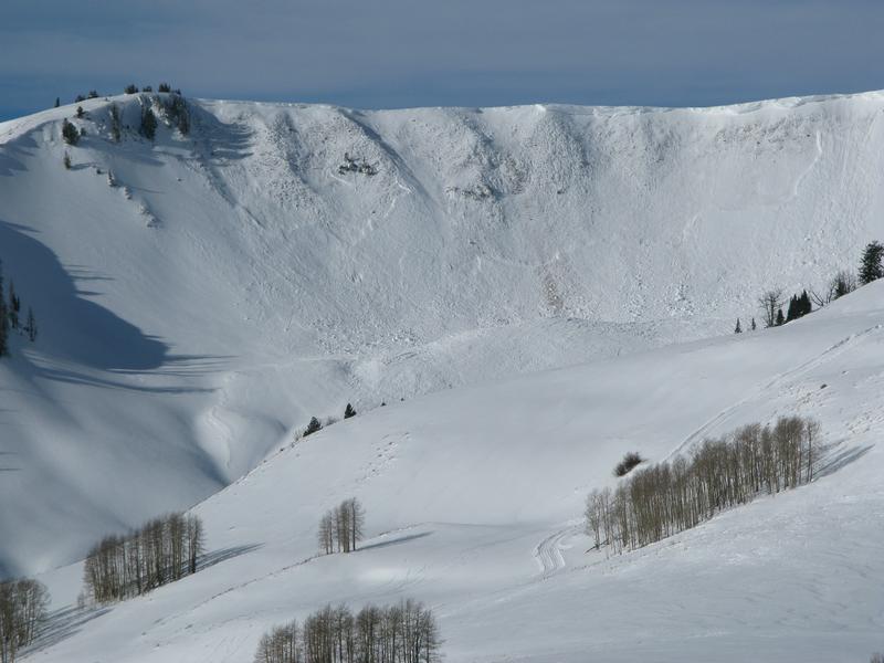
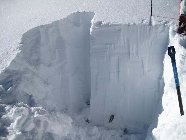
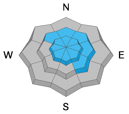
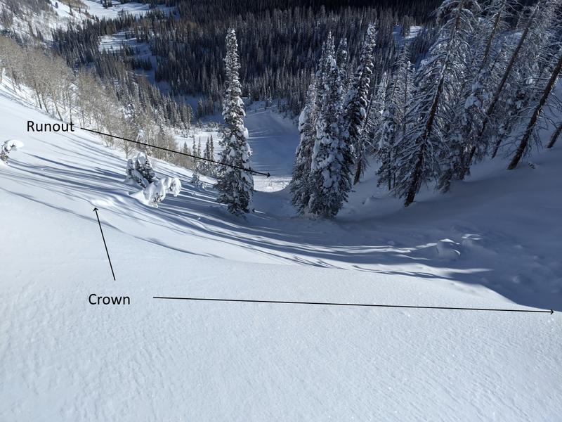
The midweek storm delivered a solid shot of dense, heavy snow coupled with very strong winds, creating dangerous avalanche conditions on steep, wind drifted slopes facing the north half of the compass. Today, CONSIDERABLE avalanche danger exists near and above treeline, especially in the wind zone where deep, dangerous, human triggered avalanches are LIKELY. While more straight-forward, human triggered avalanches are possible on steep, shady, wind drifted slopes at mid elevations where a MODERATE avalanche danger is found.
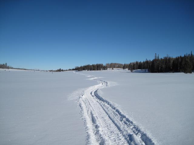
Where to go? With such excellent coverage, there are many terrain options with less dangerous conditions. Low angle slopes (less than 30 degrees in steepness) are always a great option because they are not steep enough to slide. South-facing slopes without wind drifted snow are a great option as well because they don't have a weak layer near the ground. In either case you'll find generally LOW avalanche danger today in terrain with these characteristics.

Low
Moderate
Considerable
High
Extreme
Learn how to read the forecast here