Forecast for the Uintas Area Mountains

Issued by Craig Gordon on
Sunday morning, January 19, 2020
Sunday morning, January 19, 2020
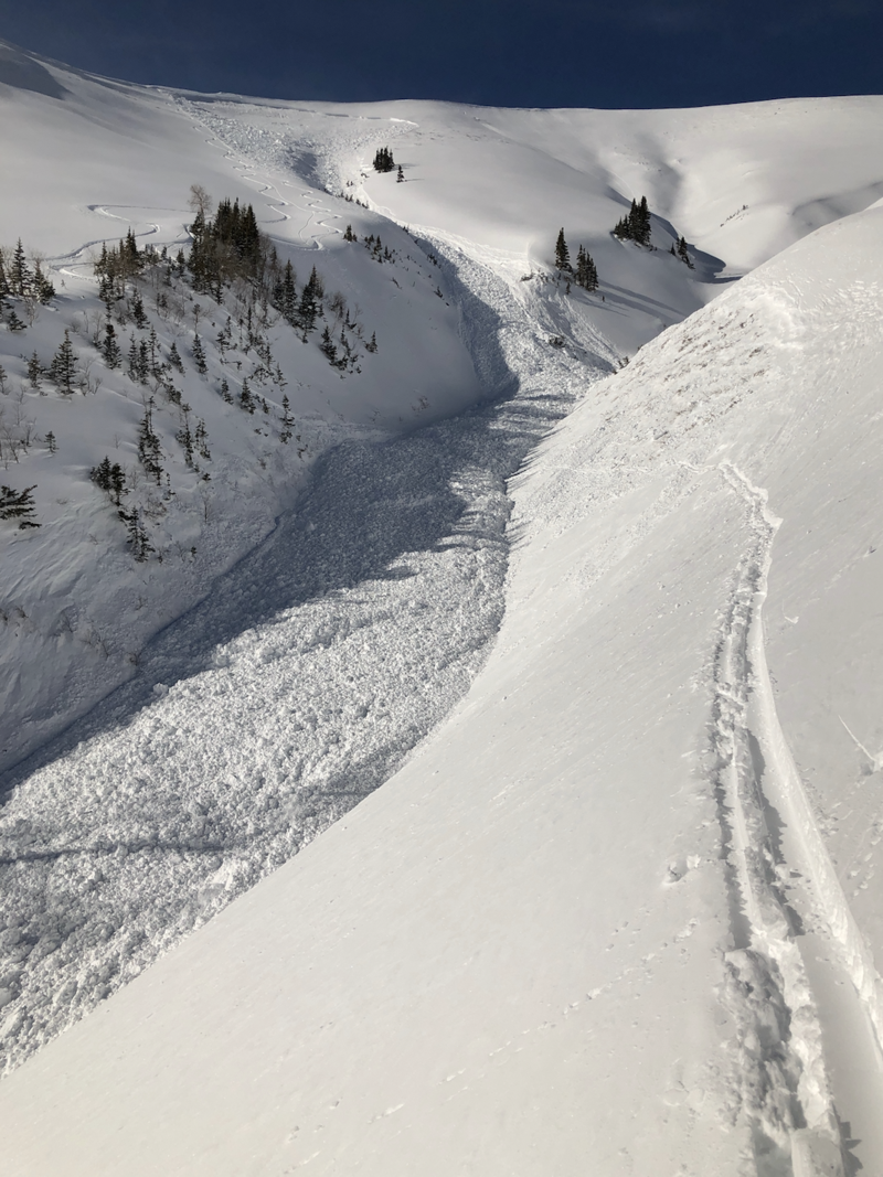
Heads up... we've got the perfect setup for avalanches to break on weak snow near the ground, resulting in a dangerously large and quite possibly unsurvivable slide that will instantly ruin your day. So... let's not lose our minds today over some fresh snow and bright sunshine. Instead, let's think about having a great day, high fives at the trailhead, and getting back home to our families.
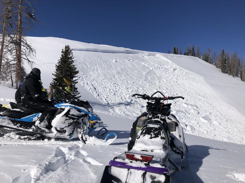
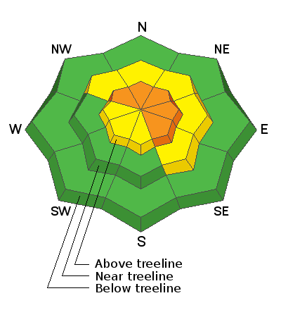
In upper elevation terrain in the wind zone, deceptively tricky avalanche conditions exist on steep, wind drifted slopes, especially those with an easterly component to its aspect. CONSIDERABLE avalanche danger exists in terrain with these characteristics and human triggered avalanches are LIKELY.
In addition, recent winds drifted snow onto steep, leeward, mid elevation slopes where a MODERATE avalanche danger exists and human triggered avalanches are POSSIBLE. Once triggered, today's drifts may break deeper and wider than you might expect.
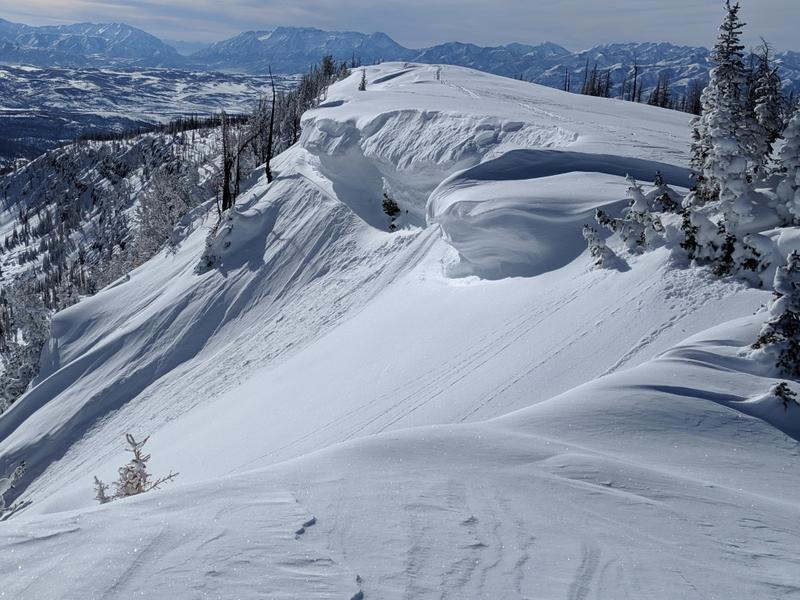
Your exit strategy... give the storm snow a minute or two to settle and gain strength. Generally LOW avalanche danger is found on wind sheltered, low and mid elevation slopes with no steep terrain above or adjacent to where you're riding.
Low
Moderate
Considerable
High
Extreme
Learn how to read the forecast here