Forecast for the Uintas Area Mountains

Craig Gordon
Issued by Craig Gordon on
Saturday morning, January 17, 2026

A sea of green blankets the danger rose, suggesting LOW avalanche hazard and a c'mon in... let's party, kinda mindset. However, don't remove this tag, because there's a disclaimer here- LOW avy danger doesn't mean NO avy danger-

Even though human triggered avalanches are UNLIKELY, as we stretch our wings and think of bigger objectives, let's keep in mind that even a small slide like a rogue wind drift or piece of snow breaking into an old, faceted layer, can ruin our day in steep, technical, committing terrain.

Low
Moderate
Considerable
High
Extreme
Learn how to read the forecast here
Weather and Snow

Nowcast - With a northerly flow overhead, skies are clear as cooler air slid through the Uinta zone overnight. It'll feel crisp as you step out the door with temperatures kicking the day off in the single digits and low teens °F. Winds blow from the northwest, averaging 20-30 mph along the ridges, gusting into the mid 40's near the high peaks, delivering finger numbing windchill to -10 °F.

Forecast - Expect yet another sunny day, but with slightly cooler temperatures only climbing into the low 30's °F. Winds from the northwest remain obnoxious near the peaks this morning, but should relax somewhat as the day progresses. Overnight lows dip into the upper teens °F.

Futurecast - High and dry with varying degrees on dry cool fronts sliding through for the next week. Computer models suggest a pattern change to kick off the month of love.

Travel Conditions -

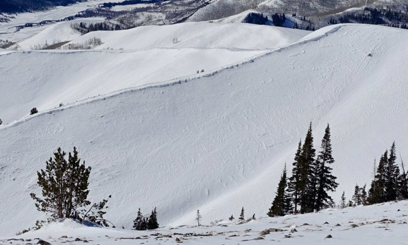
Whelp... we needed the wind, said no avy forecaster ever. Alpine terrain has taken a hard hit, is wind-pressed, and torched... like a piece of tofu that fell off the kabob, was forgotten about, and now resides in the dark recesses of the Traeger.

Recent Avalanches

No recent avalanche activity to report.

Click on the button below to scroll through a history of this winter's avalanche observations and trip reports.

Avalanche Problem #1
Persistent Weak Layer
Type
Location
Likelihood
Size
Description

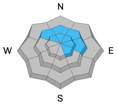
Our problem children, the rowdy persistent weak layers in the snowpack we've been concerned with, are largely dormant for the moment... and that's good news. Even though the snowpack is getting comfortable in its own skin and the likelihood of triggering a deep, dangerous avalanche is decreasing, I'd continue to step into bigger terrain cautiously. Remember, all we need to do is find a thin portion of the snowpack, like around a rock or bush, collapse the weak layer (whumpf), and now we're staring down the barrel of a larger piece of snow than we bargained for. While most terrain is good to go, I'd continue avoiding steep, rocky slopes, with a shallow, weak snowpack.

General Announcements

We have some upcoming classes and events that we'd be stoked to see you at -- Please reach out with any questions and check out below for more details!

We are always looking for snow and avalanche observations or just general riding conditions. Reach out to us with questions, concerns, or if you see anything in your travels! Contact us directly through the info below:

This forecast is from the U.S.D.A. Forest Service, which is solely responsible for its content. This forecast describes general avalanche conditions, and local variations always occur. This forecast was issued on Saturday, January 17th at 0330 AM and expires 24 hours after it was issued. We'll update this information by 07:00 AM tomorrow.