Discount lift tickets are available thanks to the generous support of our local resorts, Ski Utah, and Backcountry. Support the UAC while you ski at the resorts this season. Tickets are available
here.Nowcast-
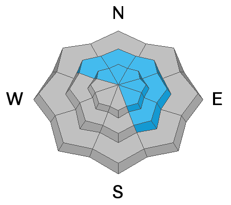
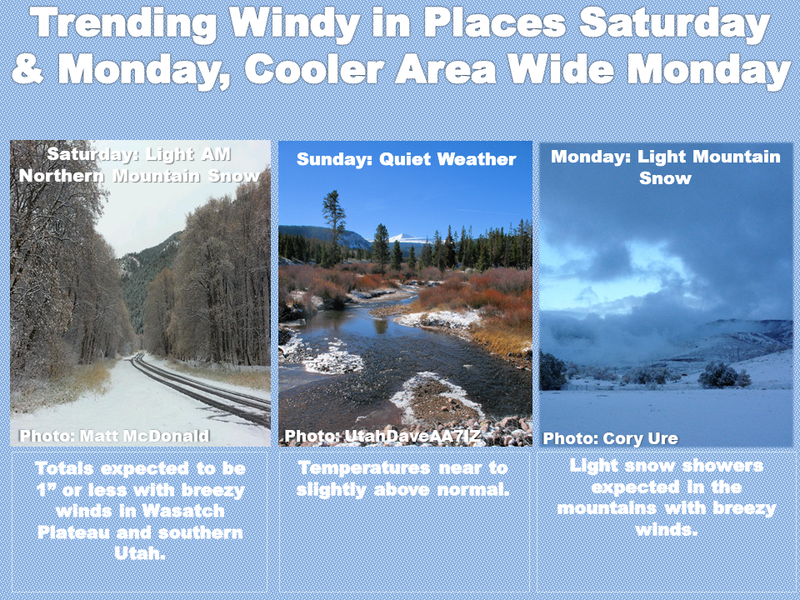
It's snowing this morning, but it should end as quickly as it began with just an inch or so of snow for this "storm". Temperatures range from the upper 20s F at trailheads to low 20s F at higher elevations. Winds are blowing from the NW generally 5-10 mph. Above 10,000 ft, NW winds are blowing 10-20 mph and gusting 30 mph.
Forecast-
Skies will clear this morning and be mostly sunny today with temperatures warming into the upper 20s and low 30s F. Winds should continue as they are this morning and ease this afternoon.
Futurecast-
Another inch of snow could fall Monday night followed by dry conditions for the rest of the week. The good news is that the weather pattern becomes increasingly active with snowfall expected next weekend.
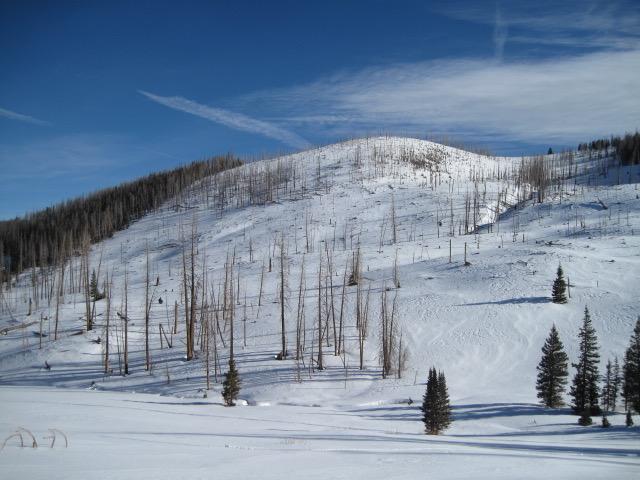
Overall snow depths are 2-3 feet with many slopes above treeline affected by recent winds. More sheltered slopes have recrystallized powder on the surface and a soft crust on southerly facing slopes. Ted Scroggin
put it best saying "The coverage out in Mill Creek is ok, but there are many logs and stumps to watch out for. It is white, but white and lumpy." The photo below from Ted shows snow coverage in that area.
Looking for real-time temps, snow, or wind?
Click
here and then on the "western Uinta" tab for western Uinta specific, weather station network.
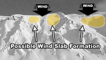
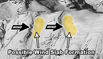
Yesterday there was one intentionally triggered avalanche reported near Humpy Peak about 50 ft wide. It was on a north-facing slope near 10,400 feet involving a very hard slab of recently wind drifted snow that broke on the old faceted snow above a crust from November.
On Thursday, there was a natural avalanche reported on
Tower Mountain involving wind drifted snow.
Read other trip reports
here.