Forecast for the Uintas Area Mountains

Mark Staples
Issued by Mark Staples for
Monday, January 1, 2024
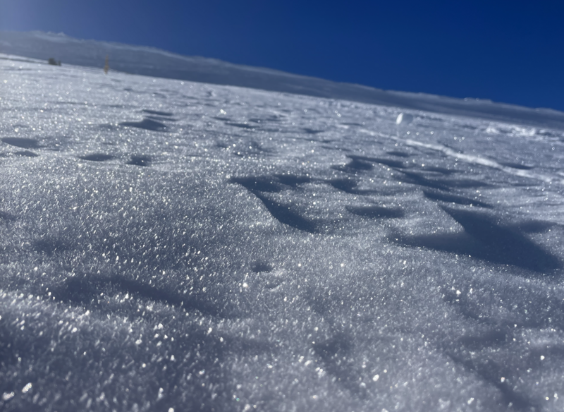
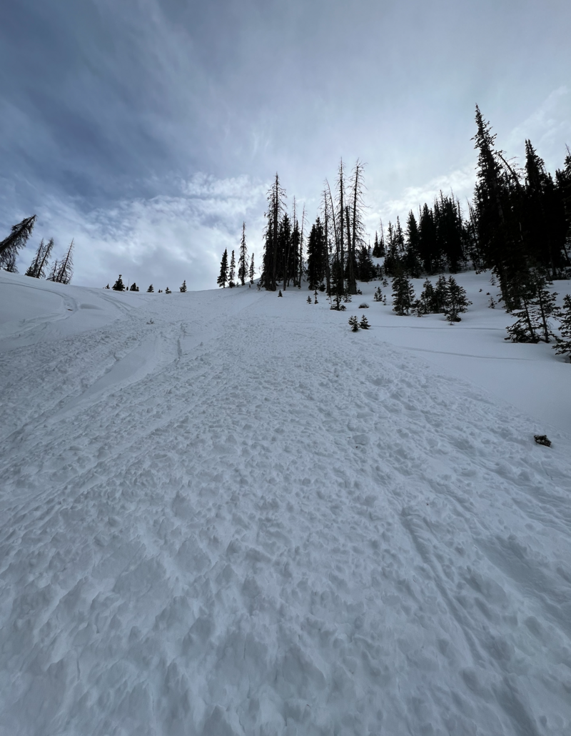
Happy New Years! The avalanche danger is LOW and travel is easy and generally safe. Seeing and avoiding buried rocks and stumps is easy.
HEADS UP: The good news is that the weather pattern will be changing later this week and snowfall will return. The tricky part is that avalanche conditions will be changing as well.
Low
Moderate
Considerable
High
Extreme
Learn how to read the forecast here
Special Announcements
Weather and Snow
This morning temperatures are in the upper teens and low 20s F and winds are barely moving. For today, more sunshine and very light winds. High temperatures will be in the upper 20s and low 30s F.
Two more days of dry weather, and things start changing Wednesday night. Initially the jet stream remains far south and sends precipitation down to the U.S./Mexico border. Some snow will make it up to northern Utah later this week. The jet stream generally shifts north and brings better chances for snowfall this weekend. It's too early to put any numbers on possible snowfall but things are starting to look good.
From the NWS forecast discussion: "Dry and stable conditions will persist through midweek. A storm system will impact mainly southern Utah late Wednesday into Thursday with the potential of a stronger, region- wide storm system late in the upcoming weekend....The timeframe with the highest probability of precipitation ranges from Saturday evening through Sunday."
Craig and Joey were out yesterday and noted both the weak surface snow and the old November snow near the ground in this video:
The snow surface on shady slopes is a mix of surface hoar and lots of small, near surface facets. While surface hoar sparkling in this photo is rarely a issue in the Uintas, it typically indicates weather conditions that are perfect for developing near surface facets that will be a problem next weekend when snowfall returns.
Recent Avalanches
On Saturday, skiers above Smith and Morehouse Reservoir triggered a dry loose sluff with debris over a foot deep. There have been reports from the Wasatch of similar sluffs. What's concerning about these avalanches is that they indicate how weak the snow surface has become. When snowfall returns, today's snow surface will be the weak layer under future avalanches. Craig found similarly weak snow three days ago near Chalk Creek.

Trip reports and the latest observations are found HERE.
Ad
Avalanche Problem #1
Normal Caution
Type
Location
Likelihood
Size
Description
No matter how low the danger is, there's always some risk of avalanches, and we always take the normal precautions just in case. Carrying avalanche rescue gear and exposing only one person at at time are the key steps so that if someone is buried, it's only one person and the rest of group will be available to dig that person out.
Watch for a rogue wind slab or sluff could roll downhill with you.
Additional Information
The Uinta weather station network was upgraded this summer and all that real-time info is found HERE. Simply click on "western Uinta" tab and then "weather stations" tab.

We are always looking for snow and avalanche observations or just general riding conditions. So... if you see something, say something. You can reach me directly at [email protected] or 801-231-2170.
Also, if you're looking for more avy education opportunities for yourself, your crew, or your club please don't hesitate to reach out to me and we'll find a presentation, class, or clinic for ya!
General Announcements

Issued at 0700 on Monday, January 1st this forecast will be updated by 0700 Tuesday, January 2nd, 2024.
This forecast is from the U.S.D.A. Forest Service, which is solely responsible for its content. This forecast describes general avalanche conditions and local variations always occur.