Nowcast - A thick band of clouds stream into the region, delivering yet another unseasonably warm start to the day. It's the second day of winter, yet current temperatures don't second that emotion with trailheads beginning their day in the mid 30's °F and ridgetops kicking their day into gear hovering right around freezing. I heard you want more wind and perhaps a little more cowbell... I'll start off with the first request I know I can deliver as winds blowing 30-50 mph from the southwest have been raking the peaks all night.
Forecast - Look for mostly cloudy skies with high temperatures climbing into the upper 40's °F. Relentlessly blowing from the southwest, wind speeds average in the 30 mph range with gusts in the 50's and 60's near the high peaks.
Futurecast - Continued warm and windy weather is on tap for tomorrow as a moisture laden Atmospheric River begins sliding its way into the region. Slated to arrive late Wednesday, the storm delivers a mixed bag for Christmas Day, first with a slug of high elevation rain, followed by colder temperatures, and then finally a good shot of snow to round out the workweek. I'm cautiously optimistic for a foot of snow and an inch of water by Saturday morning.
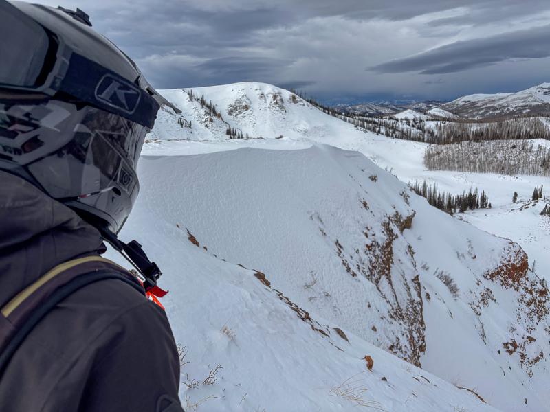
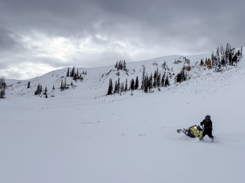
Travel Conditions - What a difference the weekend storm made across the range! Unfortunately, it's dry below about 8,000'. However, gain some elevation and it's a different world, as overall snow depths range from about 1'-4', with deeper totals as you head towards the North Slope. Riding conditions have significantly improved, and although thin, the pack is supportable in many places and travel off-trail is a thing. Wind sheltered, rock free, gassy meadows deliver delightfully creamy riding and turning conditions. Vehicle access to Mirror Lake Highway (HW150) and the Corridor has been shut down, while SR-35 (Wolf Creek Pass) remains open.
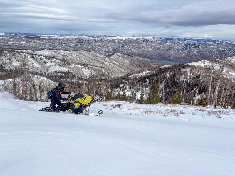
Upper elevation meadows are the ticket right now. Andy stomped around on Sunday, crunching the number along the way and his math was simple ... mellow slope angles + grassy terrain underneath = all four A-arms making it back to the rigs in one piece.
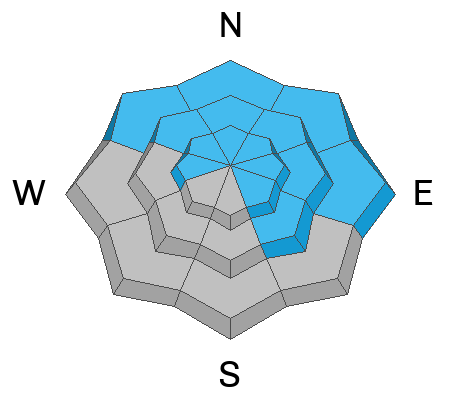
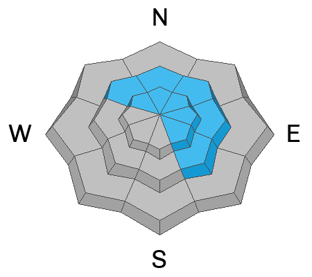
In the windzone, the pack remains shallow and weak. Steep, thin, and rocky... three characteristics to steer clear of if your travels take you to terrain above treeline.
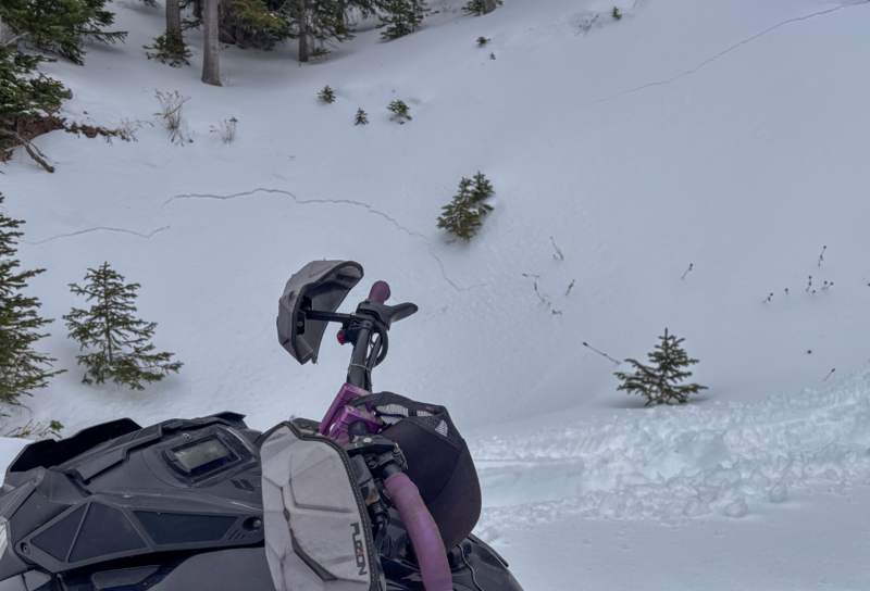
Huge thanks to our main man with the Uinta plan Ted Scroggin, who was out and about Sunday and reports natural avalanche activity on the North Slope as a result of the rapid load from the weekend storm You can check out more on this Gold Hill slide from Ted's awesome write-up, here.
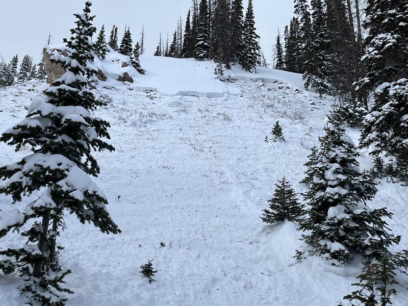
A northeast facing slope at 10,500' in the Gold Hill area, where a persistent slab avalanche failed naturally 1-2' deep, breaking on weak snow near the ground, and wrapping around terrain features a couple of hundred feet wide toward a nearby ridge (via Ted Scroggin).