Forecast for the Uintas Area Mountains

Issued by Craig Gordon on
Sunday morning, December 28, 2025
Sunday morning, December 28, 2025
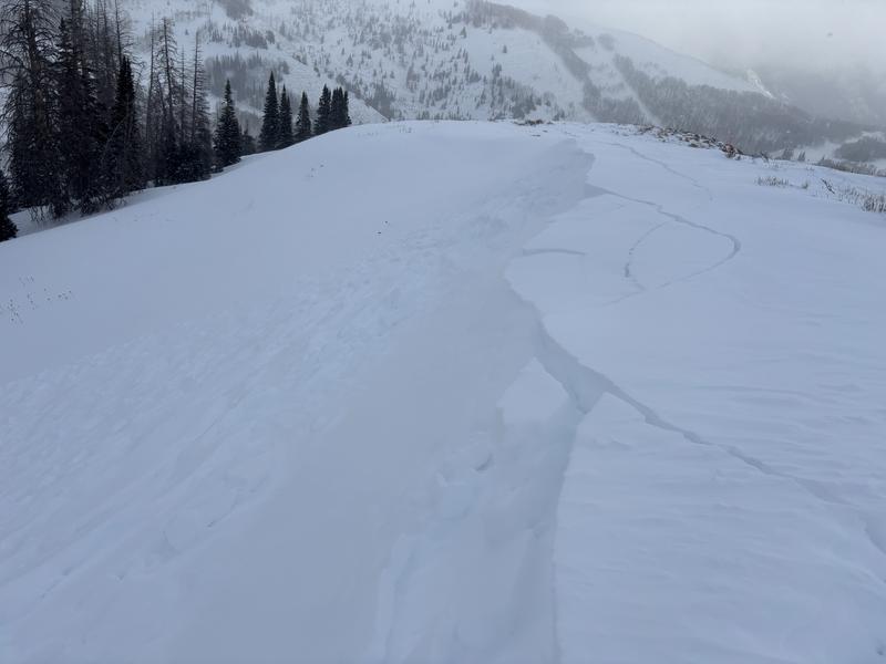
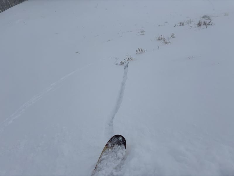
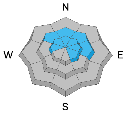
Steep, upper elevation slopes, especially those in the windzone at and above treeline offer MODERATE avalanche danger. Fresh wind drifts will react to our additional weight and human triggered avalanches are POSSIBLE particularly on the leeward side of mid and upper elevation ridges. Note to self... recent drifts form on a slick Christmas Eve raincrust and once initiated, may pack a little more heat than we might expect, especially on sustained, steep slopes.
Becoming more the exception than the rule, human triggered avalanches breaking to old snow near the ground are still POSSIBLE. The usual suspects come to mind... steep, rocky, upper elevation slopes where a hard, dense slab sits above multiple persistent weak layers.

Low
Moderate
Considerable
High
Extreme
Learn how to read the forecast here