Forecast for the Skyline Area Mountains

Issued by Brett Kobernik on
Wednesday morning, March 8, 2017
Wednesday morning, March 8, 2017
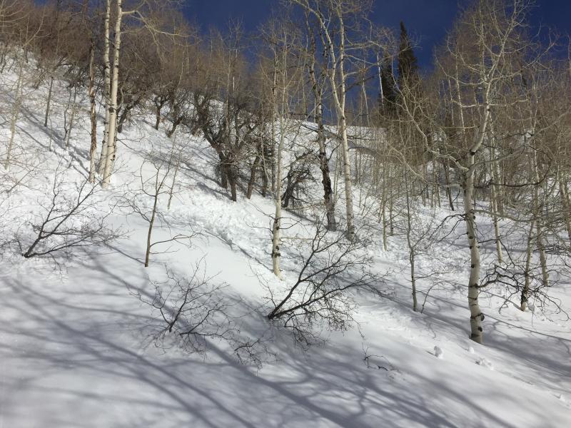
Most of the terrain has a LOW avalanche danger today. A MODERATE danger exists where it is possible a person might trigger a recently formed wind drift or slab along the upper ridgelines and terrain features. Avoid large drifts and cornices. Also, move off steep sunny slopes as they heat up to avoid triggering wet avalanches.
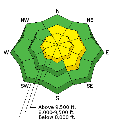
Low
Moderate
Considerable
High
Extreme
Learn how to read the forecast here