Donate to Our Spring Campaign or Bid on our Spring Auction to Support Forecasting

Forecast for the Skyline Area Mountains

Brett Kobernik
Issued by Brett Kobernik on
Saturday morning, March 15, 2025
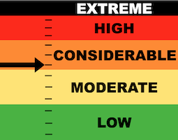
The overall danger rating is CONSIDERABLE today on the Manti Skyline.
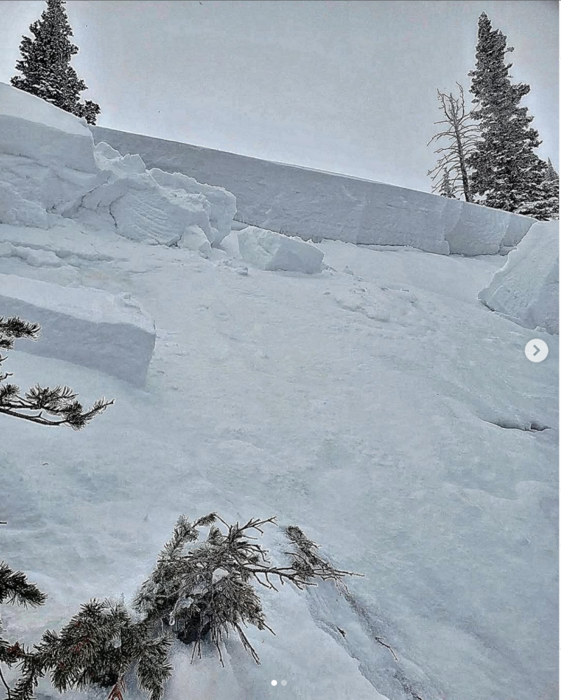
A couple of snowmobile triggered avalanches reported from Friday demonstrate that conditions are not stable.
The safest bet is to continue to avoid slopes steeper than 30˚.
Low
Moderate
Considerable
High
Extreme
Learn how to read the forecast here
Special Announcements
Our Spring Campaign is in full swing, and there are two great ways to support forecasting, awareness, and education across Utah: Donate to our Spring Campaign Bid on items in our Spring Auction
Every dollar helps keep the backcountry community on top. Thank you for your support!
Weather and Snow
Current Conditions: 3 to 4 inches of snow has trickled in over the last 24 hours bringing totals up to just over a foot. Temperatures have remained cold keeping the snow quality excellent. Wind from the west has been slightly breezy but not all that bad. Riding conditions are pretty good.
Mountain Weather: We'll see clouds and some lingering snowfall that might add another few inches of snow today. Temperatures should again be in the low to mid 20s. Wind from the west will be in the moderate speed category but looks like it will increase late in the day. Things clear out on Sunday with warmer breezy conditions. Another storm moves through on Tuesday which currently looks like it'll bring around 8 inches of snow. There are more storms lined up through the rest of the month.
Recent Avalanches
There were two snowmobile triggered avalanches reported on Friday. One was from Potters Canyon and was 18" deep. It's unclear whether this one broke into faceted snow from earlier in the season but it's very possible knowing what the snowpack is like in that canyon. DETAILS HERE
The other was in Six Mile Canyon and broke 5 feet deep. This definitely broke into older faceted snow. The rider triggered it near the top of the slope and was caught and carried but was able to control his sled and get out of it. DETAILS HERE
This is was a serious avalanche and we should all take note. There are other places around the Skyline where you could trigger something similar.
PHOTO: Travis Otten
Ad
Avalanche Problem #1
Persistent Weak Layer
Type
Location
Likelihood
Size
Description
The new snow itself seemed to be pretty well behaved on Friday. The more dangerous situation is the chance for triggering an avalanche that breaks deeper into older weak sugary faceted snow. This was clearly demonstrated in Six Mile Canyon on Friday.
The most likely places to trigger a deep dangerous avalanche are on slopes steeper than 30˚ that face northwest through east.
Buried faceted snow is very unpredictable. You can't use slope cuts to try and mitigate this problem. Tracks on a slope don't mean it still won't slide. Many slopes will stay in place. Some will not. You can't tell which ones will slide and which ones won't. Avoidance is the only sane choice.
General Announcements
This forecast is from the U.S.D.A. Forest Service, which is solely responsible for its content. This forecast describes general avalanche conditions and local variations always occur.