Forecast for the Skyline Area Mountains

Brett Kobernik
Issued by Brett Kobernik on
Sunday morning, March 1, 2026

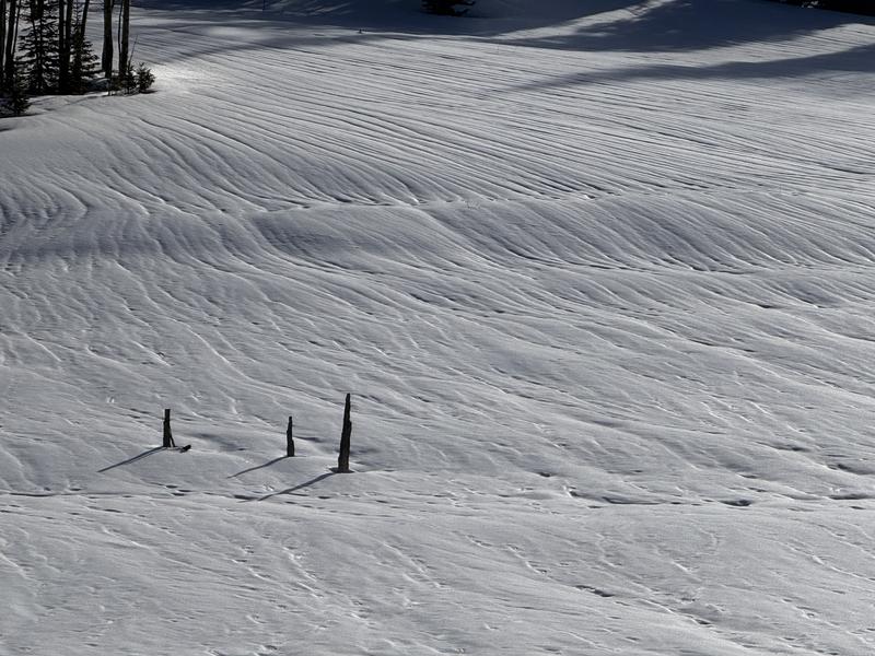
The majority of the terrain on the Skyline has a MODERATE avalanche danger today.

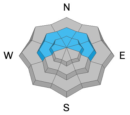
There is a CONSIDERABLE avalanche danger on steep slopes above 8500' that face northwest, north, northeast and east.

Human-triggered avalanches are likely in this terrain.

Low
Moderate
Considerable
High
Extreme
Learn how to read the forecast here
Weather and Snow

General Conditions: Warm weather remains the headline. It is taking a serious toll on the shallow snowpack in the mid elevations as well as sunny facing slopes at all elevations. Riding conditions are not good unless you're Chris Magerl out "crust cruising" on skate skis. Check out what he found on Saturday. DETAILS HERE Temperatures were up around 40°F on Saturday and only cooled into the mid 30s overnight. Wind from the west has really slowed down.

Photo below: Kobernik - meltwater channels are visible in many locations.

Mountain Weather: We'll have cloudy skies today with temperatures again up around 40°F. Wind from the southwest will be light to moderate in speed. Monday brings warm temperatures again then a small storm will move through Monday night with the chance of a few inches of snow. A better storm is shaping up for later in the week.
Avalanche Problem #1
Persistent Weak Layer
Type
Location
Likelihood
Size
Description

As time goes on, the likelihood of triggering an avalanche decreases. However, the Persistent Weak Layer problem persists on steep, upper-elevation slopes facing northwest, north, northeast, and east. What makes the situation dangerous is that only some slopes will release at this time, and it is almost impossible to know which ones will slide and which won't. This is the nature of buried facets.

General Announcements
This forecast is from the U.S.D.A. Forest Service, which is solely responsible for its content. This forecast describes general avalanche conditions and local variations always occur.