Forecast for the Skyline Area Mountains

Brett Kobernik
Issued by Brett Kobernik for
Friday, February 9, 2024
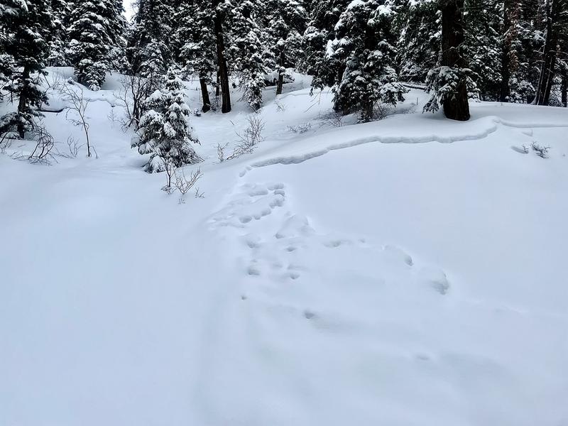
The overall danger rating on the Skyline is rated CONSIDERABLE.
The newer layers of snow are settling and stabilizing but human triggered avalanches are still likely today.
Low
Moderate
Considerable
High
Extreme
Learn how to read the forecast here
Weather and Snow
Current Conditions: 1 to 2 inches of new snow accumulated over the last 24 hours. The wind was light from the south southeast on Thursday. It switched around and is now from the west. Temperatures have been in the teens to around 20˚F. Riding conditions are excellent.
Mountain Weather: The last wave of this week's storm system will move through today. It's going to spit a little snow now and then but probably won't accumulate more than an inch or two. The wind should slow throughout the day and will be from the west northwest. Temperatures will be in the upper teens. It looks like we could see some lingering light snowfall early Saturday morning then maybe some clearing later in the day. Things clear out more on Sunday and it looks like we'll have a break from storms for most of next week.
Recent Avalanches
There were no new avalanches reported on Thursday. We did spot some more activity involving the new snow that happened on Wednesday. Snowmobilers triggered some shallow slab avalanches above the road in Spring City Canyon.
Ad
Avalanche Problem #1
New Snow
Type
Location
Likelihood
Size
Description
The new snow was not near as touchy on Thursday as it was on Wednesday. This is typical with fresh snow. It is the most unstable when it is falling and stacking up fast especially with a little wind involved. Then it tends to stabilize rapidly and is quiet after a couple of days. Give it another day and the new snow will probably be stable.
Avalanche Problem #2
Persistent Weak Layer
Type
Location
Likelihood
Size
Description
There's still a chance a person could trigger a slide that breaks deep into the Persistent Weak Layer of faceted snow from December. Chances are becoming less and less but it still gives me concern. The most likely places to trigger a deep avalanche are in the mid and upper elevation very steep slopes that face west, north and east where the overall depth of the snowpack is shallow, say 3 feet deep or less. If you notice that you are punching through deep into sugary snow underneath you, this is a clue of unstable snow. Collapsing or "whumpfing" of the snowpack underneath you is also a clue.
General Announcements
This forecast is from the U.S.D.A. Forest Service, which is solely responsible for its content. This forecast describes general avalanche conditions and local variations always occur.