Forecast for the Skyline Area Mountains

Brett Kobernik
Issued by Brett Kobernik on
Monday morning, February 23, 2026

DANGEROUS AVALANCHE CONDITIONS!!

The overall avalanche danger is rated at CONSIDERABLE today on the Manti Skyline. Human-triggered avalanches are likely.

Avalanches can be triggered remotely from flat terrain, even without being on a slope.

It is imperative to avoid being on or below steep slopes on the north half of the compass.

Low
Moderate
Considerable
High
Extreme
Learn how to read the forecast here
Weather and Snow

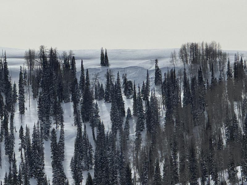
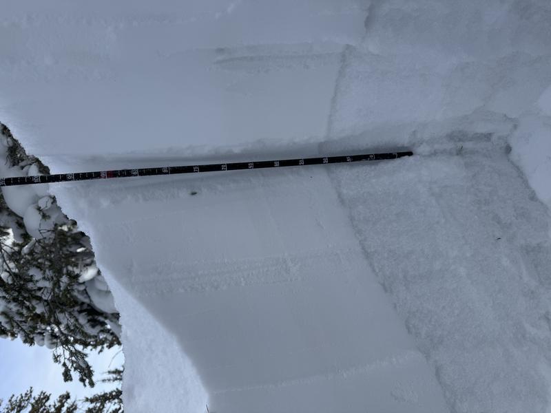
General Conditions: There was noticeable snow settlement between Saturday and Sunday. Trail breaking on skis was much easier, although there are still many places where your skis punch through the new snow into the loose sugary facets lurking below. Snowmachines trench deep into those facets. Lots of people got stuck over the weekend and wallowed in waist-deep junk trying to get unstuck. Under thin clouds on Sunday, temperatures were well into the mid 30s and only dropped into the upper 20s to around 30°F overnight. The wind has been generally light from the southwest.

For a little more about conditions on Sunday, check out THIS BACKCOUNTRY OBSERVATION from Logan Addis.

Mountain Weather: The big picture is we'll have warmer temperatures this week with a chance of a small shot of snow on Wednesday. For today, we'll have thin clouds for most of the day, perhaps thickening up later on. Temperatures will probably hit 40°F in the mountains. Wind from the southwest will be light to moderate in speed.
Recent Avalanches

Late Sunday, we received a report of an avalanche in Caribou Basin within the Snake Creek Drainage involving a snowmachiner. Search and rescue teams and the UAC will be on the site early this morning and we will keep you informed as we learn more about this avalanche.

Closer to home here on the Skyline, another avalanche was reported on Sunday. This one most likely released naturally toward the tail end of the storm. This was in Flat Canyon just west of Boulger. MORE DETAILS HERE

Photo: Logan Addis

Avalanche Problem #1
Persistent Weak Layer
Type
Location
Likelihood
Size
Description

Loose sugary faceted snow that formed in January is now buried under one to two feet of new snow. It has been volatile. It has produced natural avalanches and numerous human-triggered avalanches. Many of these avalanches were triggered remotely. This means that people weren't even on the slope when they triggered one.

Nothing has really changed over the last 24 hours except that the sensitivity may be slightly less today. Make no mistake, the conditions remain very dangerous. We will most likely be dealing with this buried weak layer through the end of the winter season.

Photo below: Logan Addis - Snowpit that shows the overall average snow structure on the Skyline with the weak facets clearly visible in the bottom half of the snowpack.

General Announcements
This forecast is from the U.S.D.A. Forest Service, which is solely responsible for its content. This forecast describes general avalanche conditions and local variations always occur.