UDOT PLANNED AVALANCHE CLOSURES!!

Forecast for the Skyline Area Mountains

Brett Kobernik
Issued by Brett Kobernik for
Thursday, February 16, 2023
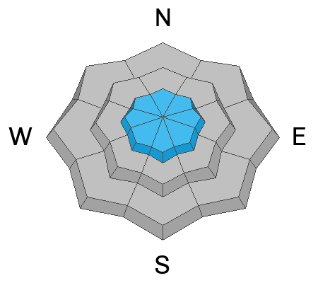
Overall, the avalanche danger rating on the Skyline is LOW.
There is a pockety MODERATE danger rating in the upper elevations.
Most of the storm snow should be stable now but don't let your guard down. Continue to avoid any fresh drifts that have formed on steep slopes in the upper elevations.
Low
Moderate
Considerable
High
Extreme
Learn how to read the forecast here
Weather and Snow
Current Conditions: A few more inches of snow trickled in during the day Wednesday, mostly in the central Skyline. The north end didn't pick up anything. Totals since Tuesday are around 4 inches on the northern end and around 8 inches in the central. Temperatures are 0˚F this morning or colder at most mountain locations. The wind is from the northwest and is generally light.
Mountain Weather: Today we'll have mostly sunny skies with temperatures getting up to around 20˚F. Wind will be light from the northwest shifting around from the southwest later on. Friday and Saturday look pretty nice with partly cloudy skies and temperatures into the upper 20s. There's a slight chance for snow early Sunday morning.
Ad
Avalanche Problem #1
Normal Caution
Type
Location
Likelihood
Size
Description
Things are pretty quiet out in the backcountry right now. It is rather unlikely that a person will trigger an avalanche today. Places where it might be possible would be in the upper elevation very steep terrain with recent deposits of wind drifted snow.
General Announcements
This forecast is from the U.S.D.A. Forest Service, which is solely responsible for its content. This forecast describes general avalanche conditions and local variations always occur.