Forecast for the Skyline Area Mountains

Brett Kobernik
Issued by Brett Kobernik for
Sunday, February 11, 2024
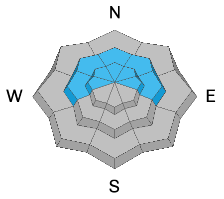
The overall danger rating on the Skyline is rated MODERATE.
Human triggered avalanches are possible but not all that likely today.
The biggest threat lies in areas with an overall shallower snowpack. If you find yourself punching through into weak sugary snow, you're most likely in a place with shallower and overall weaker snow. Avoid steep slopes in areas like this.
Low
Moderate
Considerable
High
Extreme
Learn how to read the forecast here
Weather and Snow
Current Conditions: Riding conditions were almost as good as they get on Saturday. It looks like we got a little more icing for the cake last night with 1 to 3 inches more new low denstiy powder. Temperatures are cold with most stations in the low single digits. The wind has been generally light from the north northwest. Our group did note a slight breeze on Saturday around Electric Lake.
Mountain Weather: The storm has cleared out and we'll have a mostly sunny day today. Temperatures will get up to around 20˚F and the wind will be from the northwest and should stay fairly light in speed. The weather looks about the same through mid week with just slightly warmer temperatures.
Ad
Avalanche Problem #1
Persistent Weak Layer
Type
Location
Likelihood
Size
Description
Really, my only concern out there is the slight chance of triggering a deeper avalanche that breaks into weak snow from December. Overall I think this problem is an outlier and it's pretty unlikely to trigger something. In general, the snowpack is going in a good direction:
  • It's been two weeks since I've heard about an avalanche that has broken into the old December snow.
  • There have been no recent reports of cracking or collapsing (whumpfing) of the snowpack
  • Many areas have over 3 feet of consolidated strong snow over the old weak snow. This makes it difficult for a person to disturb those deeper layers.
  • The old weak snow has gained strength.
  • Snow stability tests have been showing signs of better stability.
All that said, if you dig down you can still find loose sugary snow at the base of the snowpack in many areas. This is what makes me uneasy. I'd like to see that snow become harder and stronger. It will happen as we add more snow to the pack. In the meantime, there is still a slight chance a person could trigger a deep avalanche. The most likely places are where the snowpack is shallower especialy around steep rocky terrain.
General Announcements
This forecast is from the U.S.D.A. Forest Service, which is solely responsible for its content. This forecast describes general avalanche conditions and local variations always occur.